Asu Temple
Map

Map

Facts and practical information
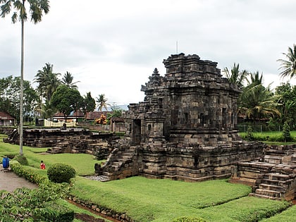
Candi Asu is part of the Sengi complex built in the 8th and 9th centuries. It is a Hindu temple lying in Magelang Regency, Central Java. It is nestled in between Mount Merapi and Mount Merbabu volcanoes and nearby the road from Mungkid to Boyolali. ()
Local name: Candi AsuCoordinates: 7°31'60"S, 110°20'60"E
Location
Central Java
ContactAdd
Social media
Add
Day trips
Asu Temple – popular in the area (distance from the attraction)
Nearby attractions include: Ullen Sentalu Museum, Karmawibhangga Museum, Candi Ngawen, Turgo.


