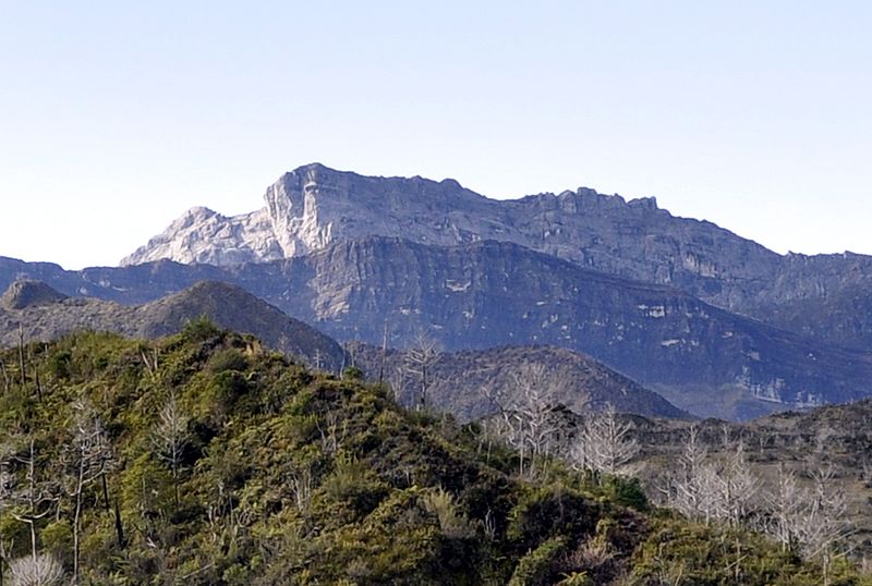
Puncak Trikora, Lorentz National Park

Gallery (2)
Map
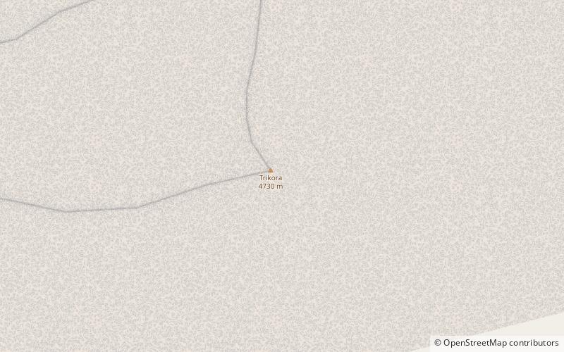
Map
Gallery
Facts and practical information
Puncak Trikora, until 1963 Wilhelmina Peak, is a 4,730 or 4,750-metre-high mountain in the Papua province of Indonesia on New Guinea. It lies in the eastern part of the Sudirman Range of the Maoke Mountains. ()
Alternative names: First ascent: 1913Elevation: 15584 ftProminence: 4160 ftCoordinates: 4°15'44"S, 138°40'55"E
Address
Lorentz National Park
ContactAdd
Social media
Add