Semanggi Interchange, Jakarta
Map
Map

Facts and practical information
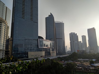
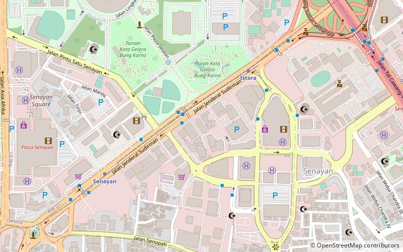
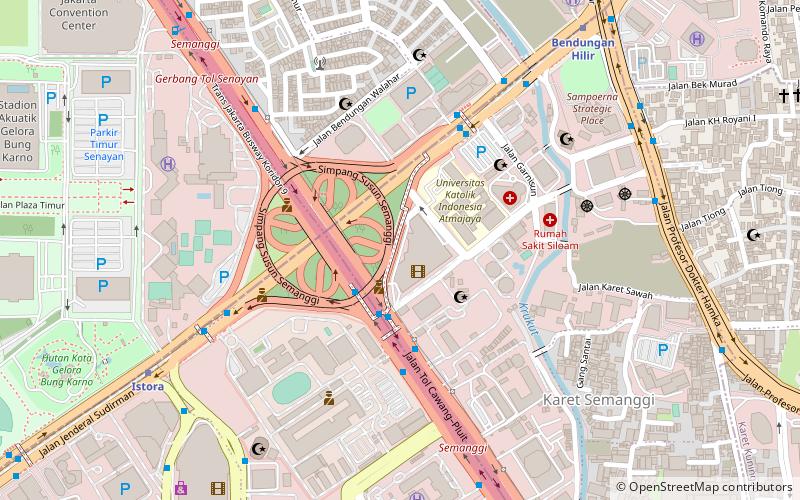
Semanggi Interchange is a major road junction in Jakarta, Indonesia which connects Central Jakarta, South Jakarta, East Jakarta and West Jakarta without any traffic lights. Semanggi intersection has the shape of four-leaved cloverleaf. Two main roads of the city Gatot Subroto Road and Sudirman Road intersect at this cloverleaf interchange. This is a landmark and an important arterial road in the Golden Triangle of Jakarta, an area of Jakarta's business district. ()
Local name: Simpang Susun SemanggiOpened: 1962 (64 years ago)Elevation: 10 ft a.s.l.Coordinates: 6°13'11"S, 106°48'50"E
Address
Jakarta Selatan (Setiabudi)Jakarta
ContactAdd
Social media
Add
Day trips
Semanggi Interchange – popular in the area (distance from the attraction)
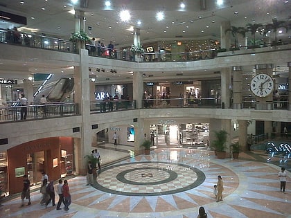
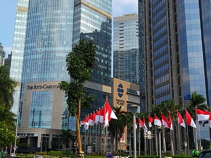
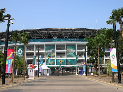
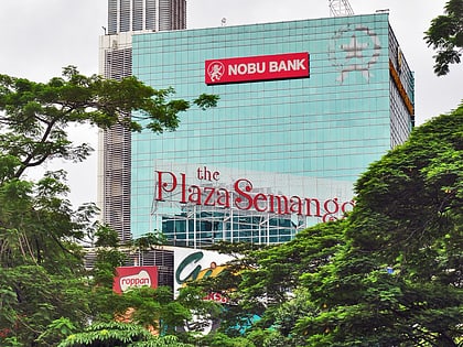
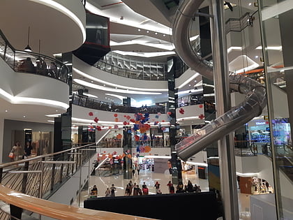
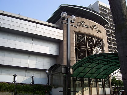
Nearby attractions include: Plaza Senayan, Pacific Place Jakarta, Gelora Bung Karno Stadium, The Plaza Semanggi.
Frequently Asked Questions (FAQ)
Which popular attractions are close to Semanggi Interchange?
Nearby attractions include Balai Sarbini, Jakarta (1 min walk), RS Atma Jaya, Jakarta (3 min walk), The Jakarta Office Tower, Jakarta (6 min walk), Office, Jakarta (12 min walk).
How to get to Semanggi Interchange by public transport?
The nearest stations to Semanggi Interchange:
Bus
Metro
Train
Bus
- Semanggi • Lines: 9, 9A (3 min walk)
- Halte Busway Bendungan Hilir • Lines: 1 (6 min walk)
Metro
- Istora • Lines: Ns (11 min walk)
- Bendungan Hilir • Lines: Ns (11 min walk)
Train
- Palmerah (37 min walk)

