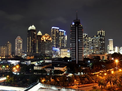
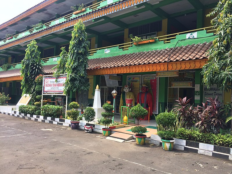
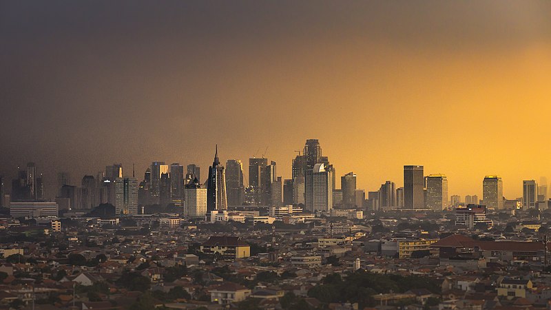
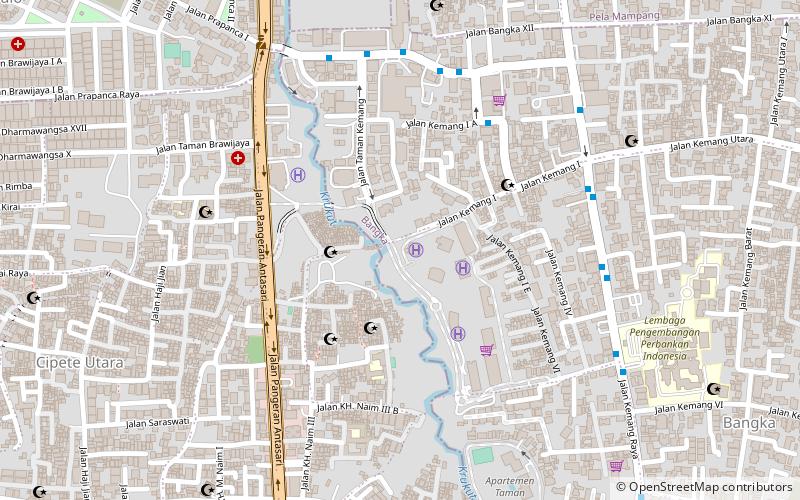
South Jakarta, Jakarta
Map
Gallery
Facts and practical information
South Jakarta is one of the five administrative cities which form the Special Capital Region of Jakarta, Indonesia. South Jakarta is not self-governed and does not have a city council, hence it is not classified as a proper municipality. It had a population of 2,062,232 at the 2010 Census and 2,226,812 at the 2020 Census, and it is the third most populous among the five administrative cities of Jakarta, after East Jakarta and West Jakarta. The administrative centre is at Kebayoran Baru. ()
Day trips
South Jakarta – popular in the area (distance from the attraction)
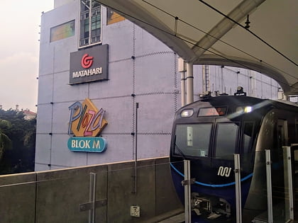
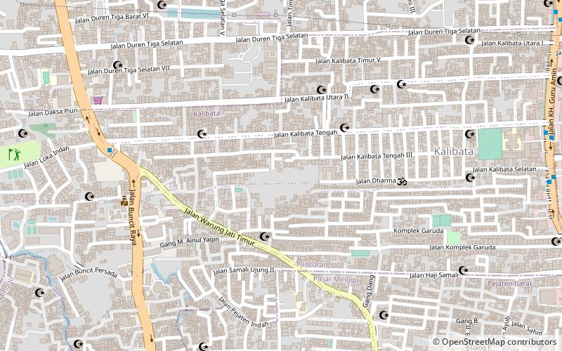
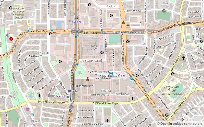
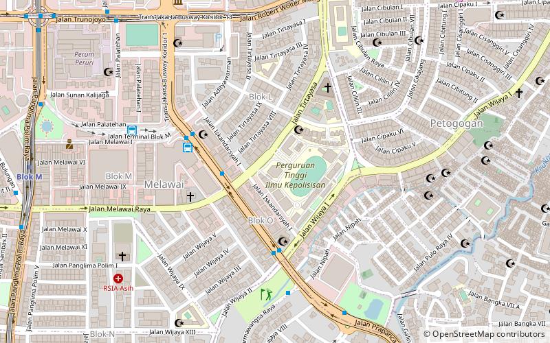
Nearby attractions include: Blok M Square, Kalibata, Kebayoran Baru, Peruri 88.
Frequently Asked Questions (FAQ)
Which popular attractions are close to South Jakarta?
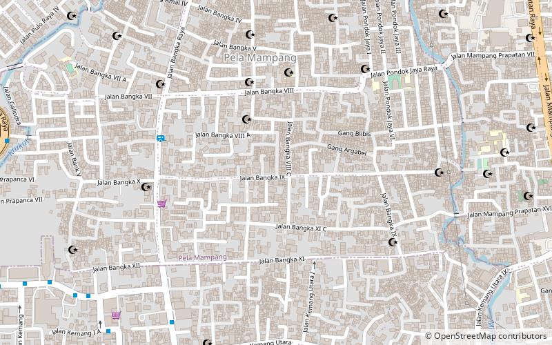
Nearby attractions include Gallery kemang 58, Jakarta (11 min walk), Mampang Prapatan, Jakarta (12 min walk).
How to get to South Jakarta by public transport?
The nearest stations to South Jakarta:
Bus
Bus
- Shuttle Bis BigBird Blok M - Bandara (37 min walk)
- Terminal Bus Kota Blok M (40 min walk)
