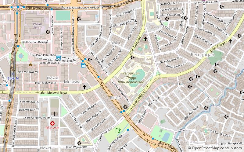
Kemang Village, Jakarta
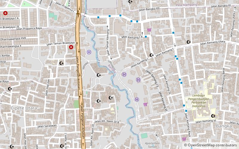
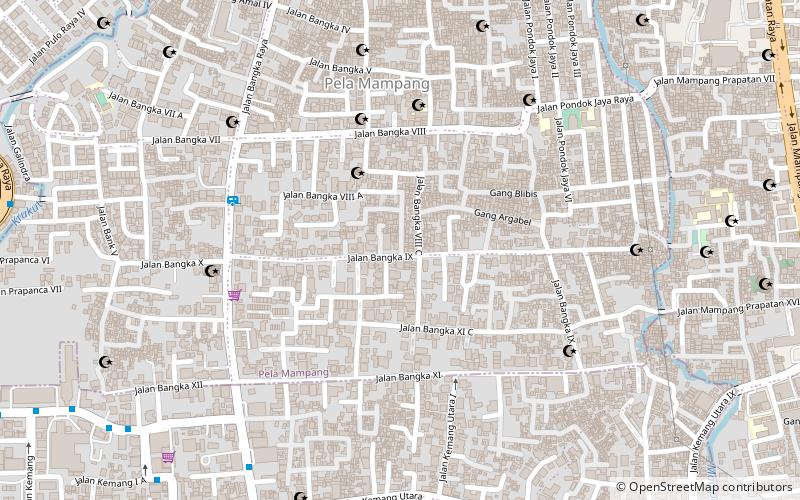
Map
Facts and practical information
Kemang Village is an integrated development of residences with hotel, mall, hospital, school, country club, and spa, located at Mampang Prapatan, South Jakarta, Indonesia. The complex has a land area of about 15.5 hectares, which is developed by Lippo Group. ()
Stores: 200Coordinates: 6°15'34"S, 106°48'40"E
Day trips
Kemang Village – popular in the area (distance from the attraction)
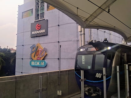
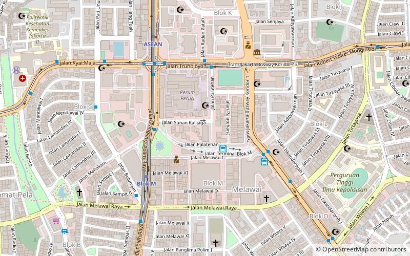
Nearby attractions include: Blok M Square, South Jakarta, Kebayoran Baru, Peruri 88.
Frequently Asked Questions (FAQ)
Which popular attractions are close to Kemang Village?
Nearby attractions include Gallery kemang 58, Jakarta (12 min walk), South Jakarta, Jakarta (13 min walk), Mampang Prapatan, Jakarta (19 min walk).
How to get to Kemang Village by public transport?
The nearest stations to Kemang Village:
Metro
Bus
Metro
- Blok A • Lines: Ns (26 min walk)
- Haji Nawi • Lines: Ns (28 min walk)
Bus
- Stasiun MRT Haji Nawi (28 min walk)
- Shuttle Bis BigBird Blok M - Bandara (31 min walk)
