Jalan Darmo Permai Selatan XI, Surabaya
Map
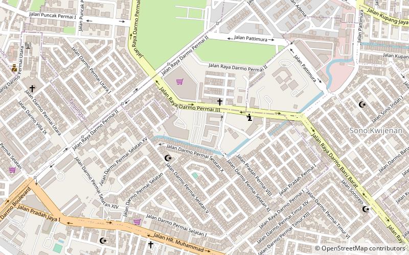
Map

Facts and practical information
Jalan Darmo Permai Selatan XI (address: Darmo Permai Selatan V/61-63) is a place located in Surabaya (East Java province) and belongs to the category of bridge.
It is situated at an altitude of 52 feet, and its geographical coordinates are 7°16'44"S latitude and 112°41'31"E longitude.
Among other places and attractions worth visiting in the area are: Pakuwon Mall (shopping, 34 min walk), Ciputra World Surabaya (shopping, 55 min walk), Gedung Setan (colonial architecture, 61 min walk).
Coordinates: 7°16'44"S, 112°41'31"E
Address
Darmo Permai Selatan V/61-63Surabaya
ContactAdd
Social media
Add
Day trips
Jalan Darmo Permai Selatan XI – popular in the area (distance from the attraction)
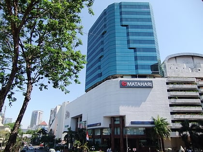
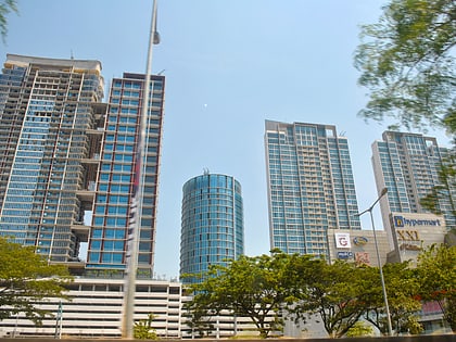
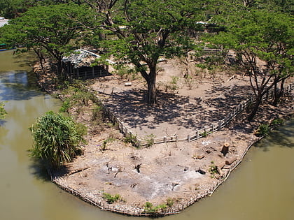
Nearby attractions include: Tunjungan Plaza, Ciputra World Surabaya, Kebun Binatang Surabaya, BG Junction.
