Plumbangan
Map

Map

Facts and practical information
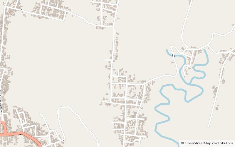
Plumbangan is a candi that actually is a paduraksa-style gate with cube-shaped peak. The gate is located at Plumbangan village, Doko subdistrict, Blitar Regency, East Java, Indonesia. ()
Local name: Candi PlumbanganCoordinates: 8°4'28"S, 112°20'24"E
Location
East Java
ContactAdd
Social media
Add
