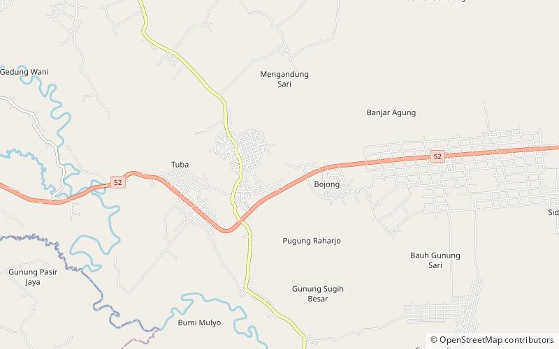
Pugung Raharjo
Map

Map

Facts and practical information
Pugung Raharjo is a 30 hectares archaeological site in the regency of East Lampung regency of Lampung Province in South Sumatra in Indonesia. The site was discovered in 1957. There is an ancient terraced megalithic structure, also known as Pugung Raharjo Pyramid. There other megalithic structures from the 12th to 16th century CE, including Menhirs and Dolmen, as well as prehistoric remains dating back to 2500 BC. It is locally known as the "Taman Purbakala Pugung Raharjo". It is situated approximately 50 km from the provincial capital, Bandar Lampung. ()
Coordinates: 5°18'7"S, 105°34'16"E
Location
Lampung
ContactAdd
Social media
Add
