Mount Hiri

Map
Facts and practical information
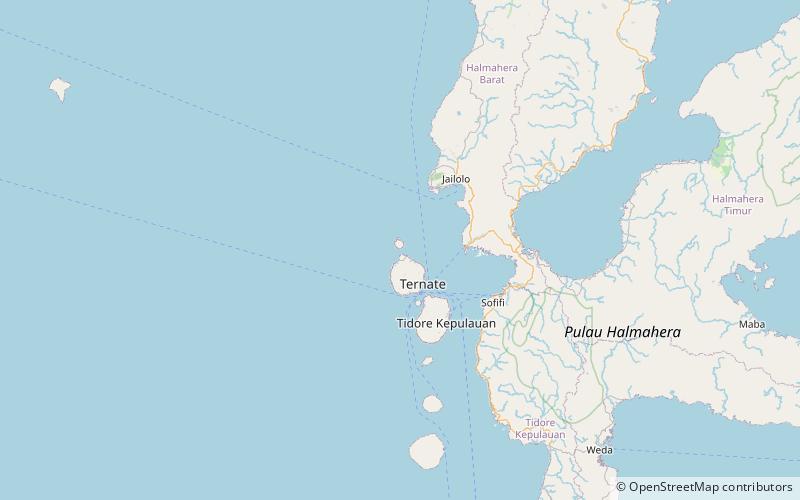
Hiri is a small, 3-kilometre-wide forested island immediately north of the island of Ternate, in the Maluku Islands of Indonesia. It is located at the northernmost part of a chain of volcanic islands off the western coast of Halmahera. It is a conical volcano which rises to 630 m. The island covers 6.7 km2 and had a population of 3,064 in 2015; it is administered as a district of the City of Ternate. Its dominant neighbour to the south is the more active volcano of Mount Gamalama, on Ternate island. ()
Location
North Maluku
ContactAdd
Social media
Add
Day trips
Mount Hiri – popular in the area (distance from the attraction)
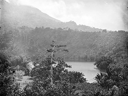
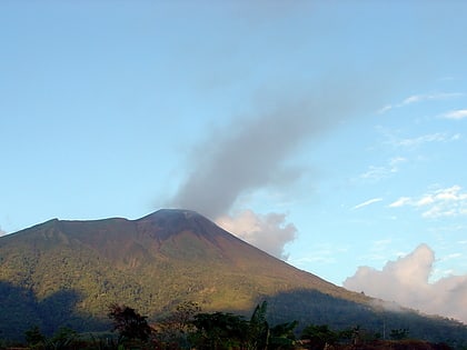
Nearby attractions include: Tolire Lake, Gamalama, Museum Kedaton Sultan Ternate.


