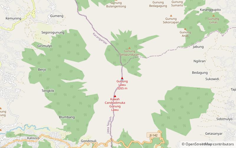
Mount Lawu
Map

Map

Facts and practical information
Mount Lawu, or Gunung Lawu, is a massive compound stratovolcano straddling the border between East Java and Central Java, Indonesia. The north side is deeply eroded and the eastern side contains parasitic crater lakes and parasitic cones. A fumarolic area is located on the south flank at 2,550 m. The only reported activity of Lawu took place in 1885, when rumblings and light volcanic ash falls were reported. The recent study provided insights into geothermal heat flow suggesting that Mt. Lawu is still active today. ()
Local name: Gunung Lawu Last eruption: 28 November 1885Elevation: 10712 ftProminence: 10230 ftCoordinates: 7°37'30"S, 111°11'31"E
Location
Central Java
ContactAdd
Social media
Add
Day trips
Mount Lawu – popular in the area (distance from the attraction)
Nearby attractions include: Sukuh, Ceto Temple.


