Palmerah, Jakarta
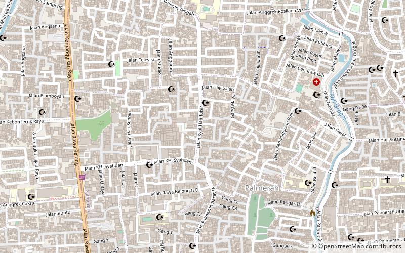
Map
Facts and practical information
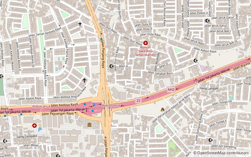
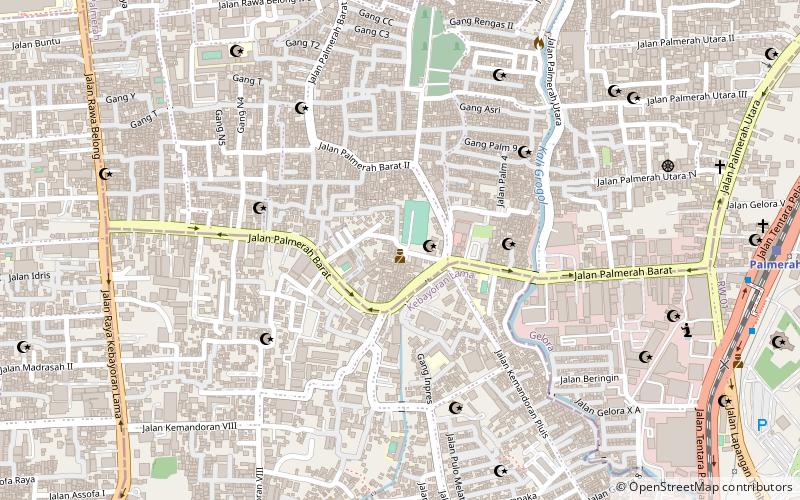
Palmerah is a subdistrict of West Jakarta, Indonesia. The Subdistrict is roughly bounded by Jakarta-Merak Tollway to the north, Batusari - Rawa Belong Road to the west, Palmerah Barat - Palmerah Utara Road to the south, and Aipda K. Sasuit Tubun Road - Western Flood Canal to the east. ()
Address
Jakarta Barat (Palmerah)Jakarta
ContactAdd
Social media
Add
Day trips
Palmerah – popular in the area (distance from the attraction)
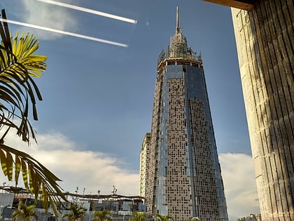
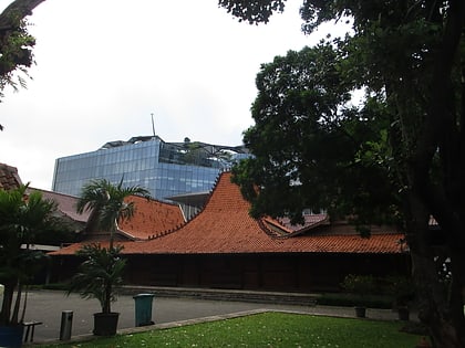
Nearby attractions include: Kompas Tv, Bentara Budaya Jakarta, Kebon Jeruk, Textile Museum.
Frequently Asked Questions (FAQ)
Which popular attractions are close to Palmerah?
Nearby attractions include Gedong Tinggi Palmerah, Jakarta (15 min walk), Bentara Budaya Jakarta, Jakarta (24 min walk), Kompas Tv, Jakarta (24 min walk).
How to get to Palmerah by public transport?
The nearest stations to Palmerah:
Bus
Train
Bus
- Slipi Petamburan (22 min walk)
- Pengumben • Lines: 8 (37 min walk)
Train
- Palmerah (23 min walk)
