Kebon Jeruk, Jakarta
Map
Facts and practical information
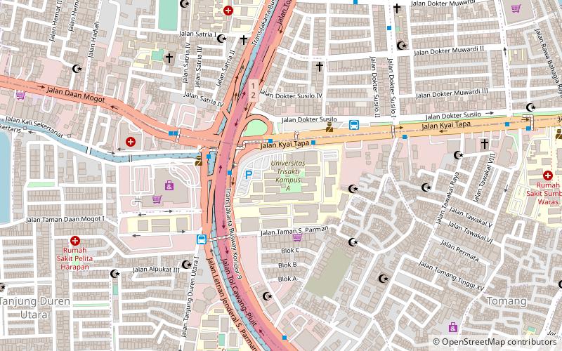
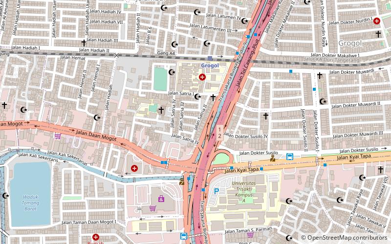
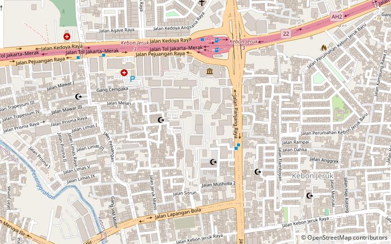
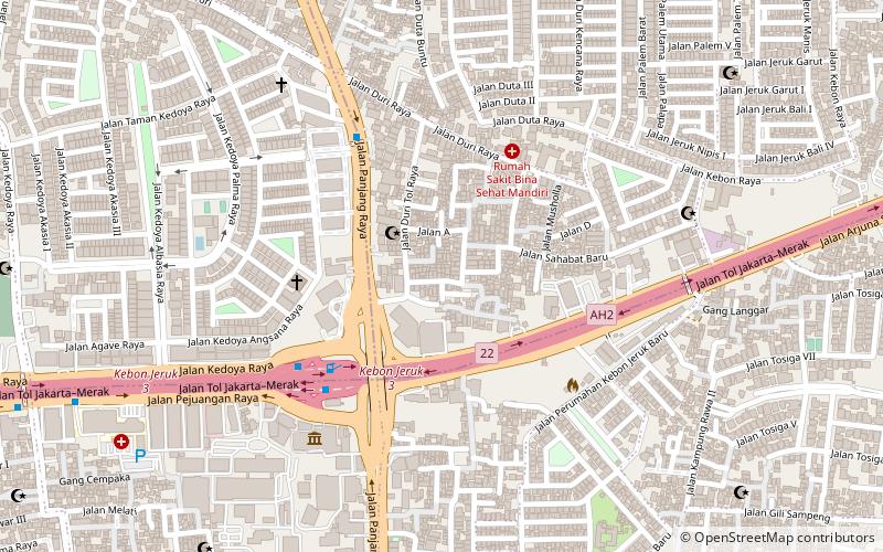
Kebon Jeruk is a subdistrict of West Jakarta, Indonesia. Kebon Jeruk is roughly bounded by Kali Pesanggrahan creek to the west, Kebayoran Lama Road to the south, Daan Mogot Road to the north, and Rawa Belong - Batu Sari Road to the east. The area is approximately 18 square km. ()
Address
Jakarta Barat (Kebon Jeruk)Jakarta
ContactAdd
Social media
Add
Day trips
Kebon Jeruk – popular in the area (distance from the attraction)
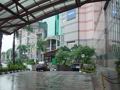
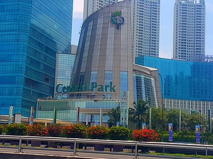
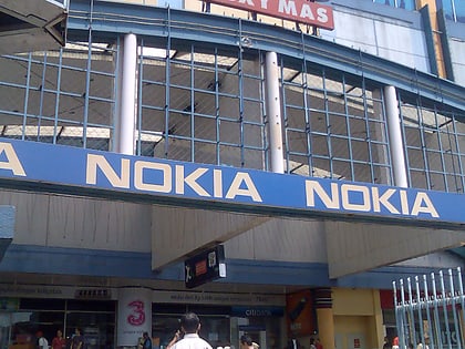
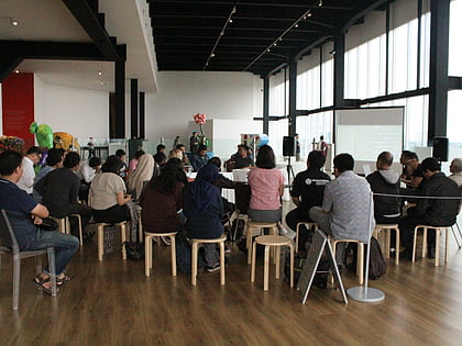
Nearby attractions include: Mall Taman Anggrek, Central Park, ITC Roxy Mas, Museum MACAN.
Frequently Asked Questions (FAQ)
Which popular attractions are close to Kebon Jeruk?
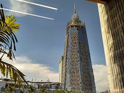
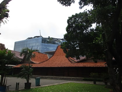
Nearby attractions include Museum MACAN, Jakarta (8 min walk), Indosiar Television Tower, Jakarta (11 min walk).
How to get to Kebon Jeruk by public transport?
The nearest stations to Kebon Jeruk:
Bus
Bus
- Duri Kepa • Lines: 8 (6 min walk)
- Kebon Jeruk • Lines: 8 (12 min walk)
