Kelapa Gading, Jakarta

Gallery (6)
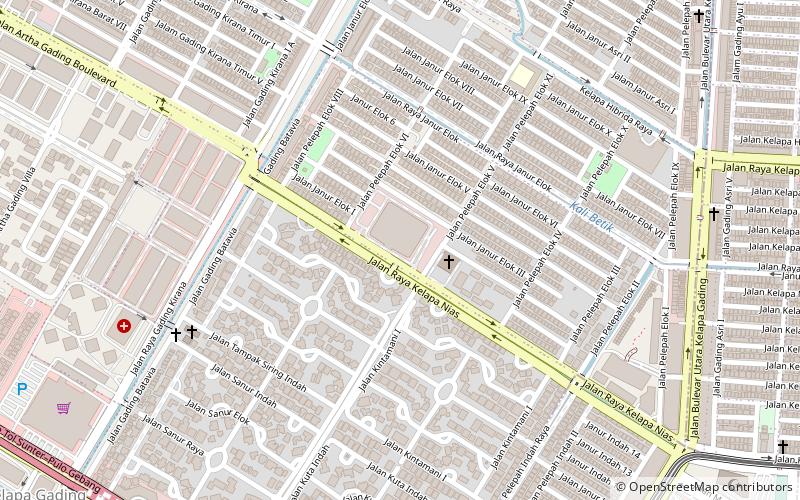
Map


Map

Gallery
Facts and practical information
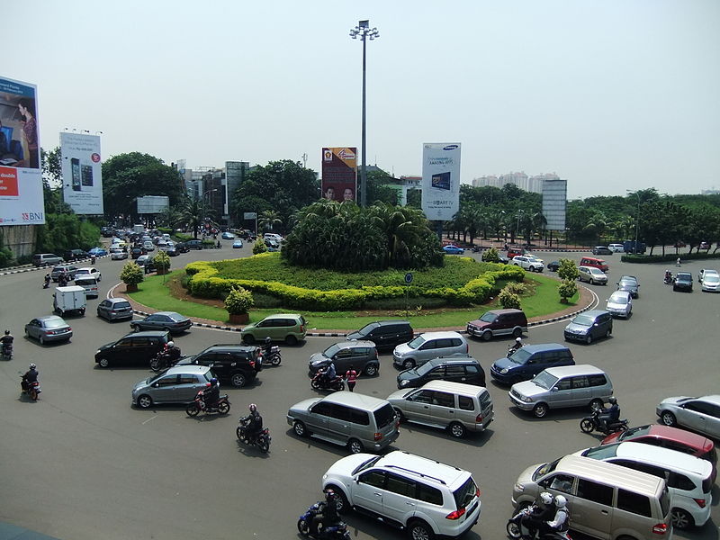
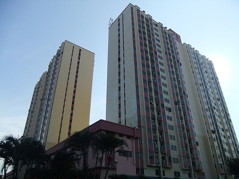
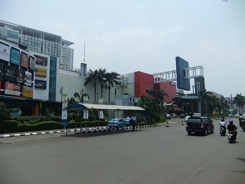
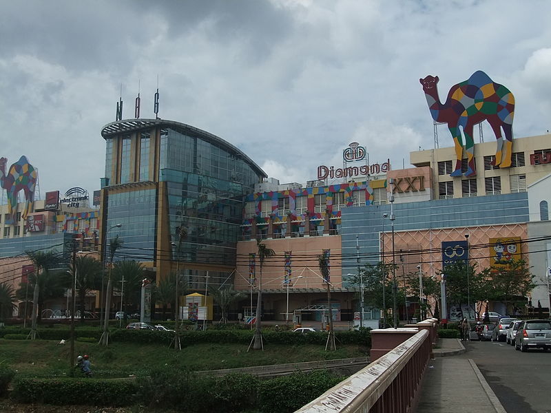
Kelapa Gading or also known as KG, Gading, is a district of North Jakarta, Jakarta, Indonesia. Kelapa Gading neighborhood is known to the local population as a city within a city, due to the integrated residential-commercial planning, and the supporting facilities. ()
Address
Jakarta Utara (Kelapa Gading)Jakarta
ContactAdd
Social media
Add
Getting there by public transportation
Public transportation stops near this location
- Bus
- Light rail
 Bus
Bus
- Calculate routeBoulevard Utara 4 min walk
- Calculate routePegangsaan Dua 19 min walk
- Calculate routePulomas 35 min walk
- Calculate routePulo Mas 32 min walk
- Calculate routeBermis 32 min walk
- Calculate routeAsmi 33 min walk
Day trips


Frequently Asked Questions (FAQ)
How to get to Kelapa Gading by public transport?
The nearest stations to Kelapa Gading:
Light rail
Bus
Light rail
- Boulevard Utara • Lines: Lrt (4 min walk)
- Pegangsaan Dua • Lines: Lrt (19 min walk)
Bus
- Pulo Mas • Lines: 2 (32 min walk)
- Bermis • Lines: 2 (32 min walk)