Kebayoran Lama, Jakarta
Map
Gallery
Facts and practical information
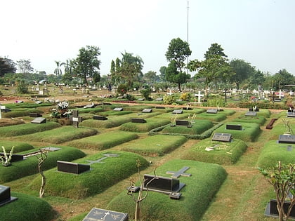
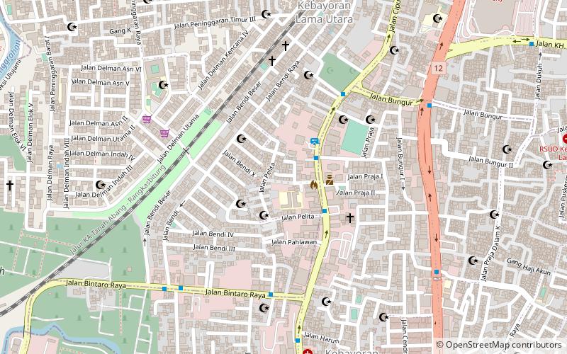
Kebayoran Lama is a district of South Jakarta, Indonesia. The rough boundaries of Kebayoran Lama are: Kebayoran Lama Road – Palmerah Barat Road to the north, Grogol River to the east, Jakarat Outer Ring Road to the south, and Pesanggrahan River to the west. ()
Address
Jakarta Selatan (Kebayoran Lama)Jakarta
ContactAdd
Social media
Add
Day trips
Kebayoran Lama – popular in the area (distance from the attraction)
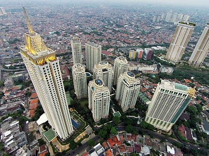
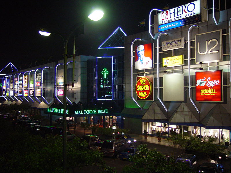
Nearby attractions include: Pondok Indah Mall, Gandaria City, Pondok Indah Water Park, The Pakubuwono.
Frequently Asked Questions (FAQ)
How to get to Kebayoran Lama by public transport?
The nearest stations to Kebayoran Lama:
Bus
Train
Bus
- Kebayoran Lama Bungur • Lines: 8 (10 min walk)
- Tanah Kusir Kodam • Lines: 8 (16 min walk)
Train
- Kebayoran (25 min walk)
