Clondalkin, Dublin
Map

Map

Facts and practical information
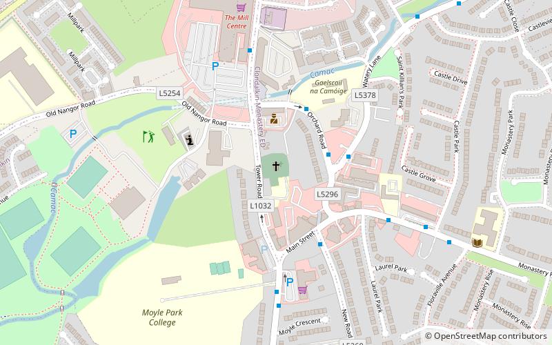
Clondalkin is a suburban town situated 10 km south-west of Dublin city centre, Ireland, under the administrative jurisdiction of South Dublin. It features an 8th century round tower that acts as a focal point for the area. Clondalkin forms part of the Dublin Mid-West Dáil constituency. ()
Address
Dublin
ContactAdd
Social media
Add
Day trips
Clondalkin – popular in the area (distance from the attraction)
Nearby attractions include: Lucan Pitch and Putt Club, The Square Tallaght, Tallaght Stadium, Knockmaree Dolmen.
Frequently Asked Questions (FAQ)
Which popular attractions are close to Clondalkin?
Nearby attractions include Clondalkin Round Tower, Dublin (1 min walk), Tully's Castle, Dublin (6 min walk).
How to get to Clondalkin by public transport?
The nearest stations to Clondalkin:
Bus
Train
Tram
Bus
- Orchard Road • Lines: L54 (2 min walk)
- Watery Lane • Lines: L54 (3 min walk)
Train
- Clondalkin & Fonthill (24 min walk)
- Park West and Cherry Orchard (28 min walk)
Tram
- Red Cow • Lines: Luas Red Line (28 min walk)


