Corkagh Park, Dublin
Map

Map

Facts and practical information
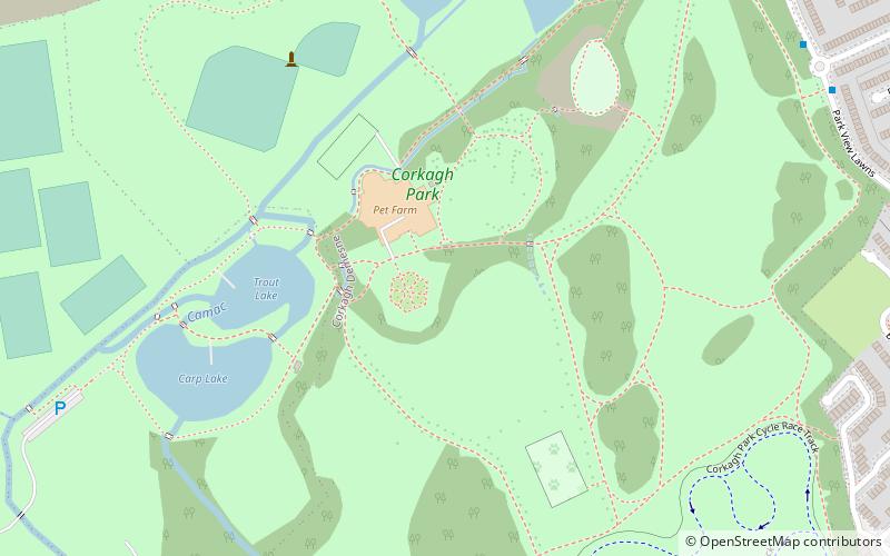
Corkagh Park is a park situated in Clondalkin in South Dublin, between the N7 and the Old Nangor Road. The River Camac flows through it and within the grounds of the park there are fishing ponds. A caravan park can be found near the parks N7 entrance. The area, once Corkagh Demesne, contained two large houses, and historically also featured mills. ()
Elevation: 259 ft a.s.l.Coordinates: 53°18'40"N, 6°24'56"W
Day trips
Corkagh Park – popular in the area (distance from the attraction)
Nearby attractions include: Lucan Pitch and Putt Club, The Square Tallaght, Tallaght Stadium, Lucan Bridge.
Frequently Asked Questions (FAQ)
How to get to Corkagh Park by public transport?
The nearest stations to Corkagh Park:
Bus
Bus
- Park View Lawns • Lines: 69 (9 min walk)
- Saint John's Lawn • Lines: 69 (11 min walk)


