West-Link, Dublin

Gallery (2)
Map

Map
Gallery
Facts and practical information
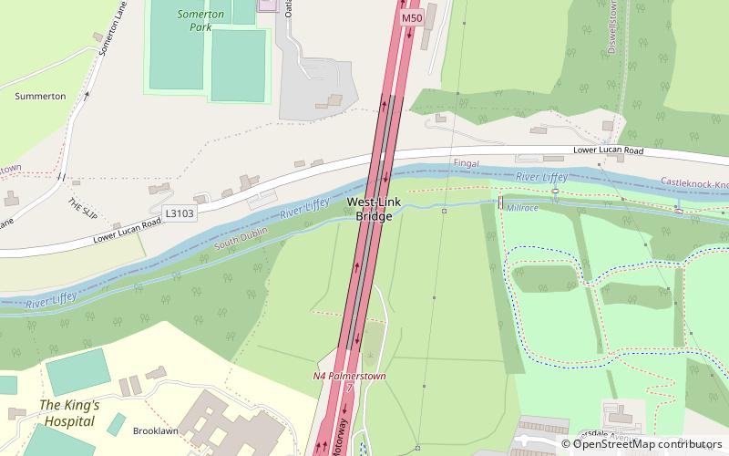
The West-Link is a toll bridge on the M50 motorway to the west of Dublin, Ireland, operated by Emovis for Transport Infrastructure Ireland. ()
Completed: 1990 (36 years ago)Coordinates: 53°21'42"N, 6°22'58"W
Address
Dublin
ContactAdd
Social media
Add
Getting there by public transportation
Public transportation stops near this location
- Bus
- Train
 Bus
Bus
- Calculate routeHollyville Lawn 8 min walk
- Calculate routeRobin Villas 13 min walk
- Calculate routeLiffey Valley 14 min walk
- Calculate routeLiffey Valley Footbridge 14 min walk
- Calculate routeCoolmine 30 min walk
Day trips


Frequently Asked Questions (FAQ)
How to get to West-Link by public transport?
The nearest stations to West-Link:
Bus
Train
Bus
- Hollyville Lawn • Lines: 18 (8 min walk)
- Robin Villas • Lines: 18 (13 min walk)
Train
- Coolmine (30 min walk)