All Saints' Church, Dublin
Map

Map

Facts and practical information
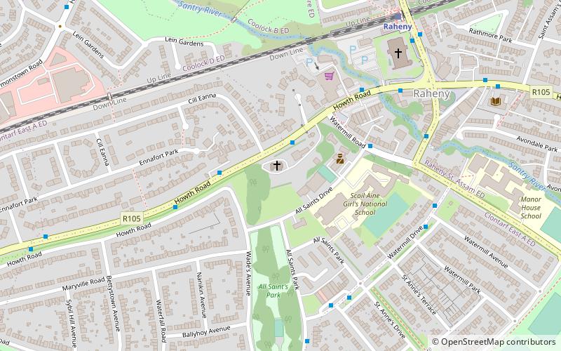
All Saints' Church is the Church of Ireland Parish Church of the Parish of Raheny, prominent on the Howth Road as it approaches the centre of Raheny, Dublin, Ireland. It lies in walled grounds with mature tree cover, just south of the village core, and is widely hailed as a fine architectural specimen. ()
Completed: 1889 (137 years ago)Coordinates: 53°22'43"N, 6°10'47"W
Day trips
All Saints' Church – popular in the area (distance from the attraction)
Nearby attractions include: The Royal Dublin Golf Club, Donaghmede Shopping Centre, Saint Anne's Park, Stardust Memorial Park.
Frequently Asked Questions (FAQ)
Which popular attractions are close to All Saints' Church?
Nearby attractions include St. Assam's Church, Dublin (6 min walk), Raheny, Dublin (9 min walk), Saint Anne's Park, Dublin (12 min walk), Harmonstown, Dublin (17 min walk).
How to get to All Saints' Church by public transport?
The nearest stations to All Saints' Church:
Bus
Train
Bus
- Howth Road • Lines: H2, H3 (4 min walk)
- Watermill Road • Lines: H1 (4 min walk)
Train
- Raheny (7 min walk)
- Harmonstown (14 min walk)


