Lough Nacung Upper
Map

Map

Facts and practical information
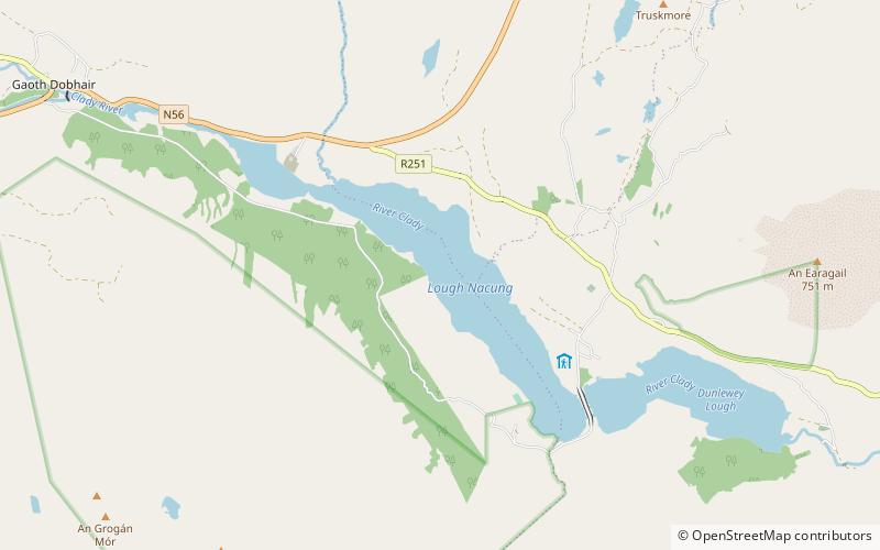
Lough Nacung Upper, also known as Upper Lough Nacung, is a lough in Gaoth Dobhair, a district in the north-west of County Donegal in Ulster, the northern province in Ireland. It connects Lough Dunlewey to Lough Nacung Lower, which drains into the Clady River. Lough Nacung is a Special Area of Conservation. ()
Length: 2.72 miWidth: 2006 ftElevation: 187 ft a.s.l.Coordinates: 55°1'59"N, 8°10'19"W
Location
Donegal
ContactAdd
Social media
Add
Day trips
Lough Nacung Upper – popular in the area (distance from the attraction)
Nearby attractions include: Mount Errigal, Mackoght, Leo's Tavern, Lough Barra.


