Mackoght

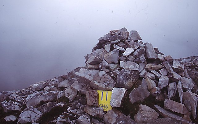
Gallery (2)
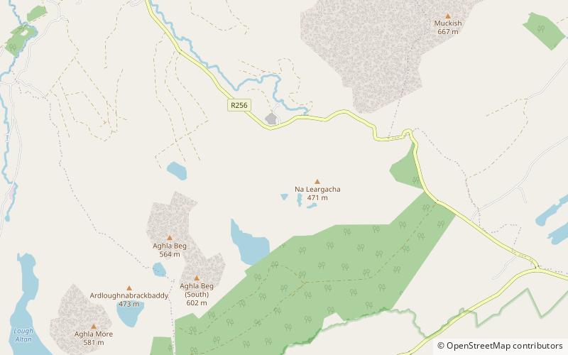
Map
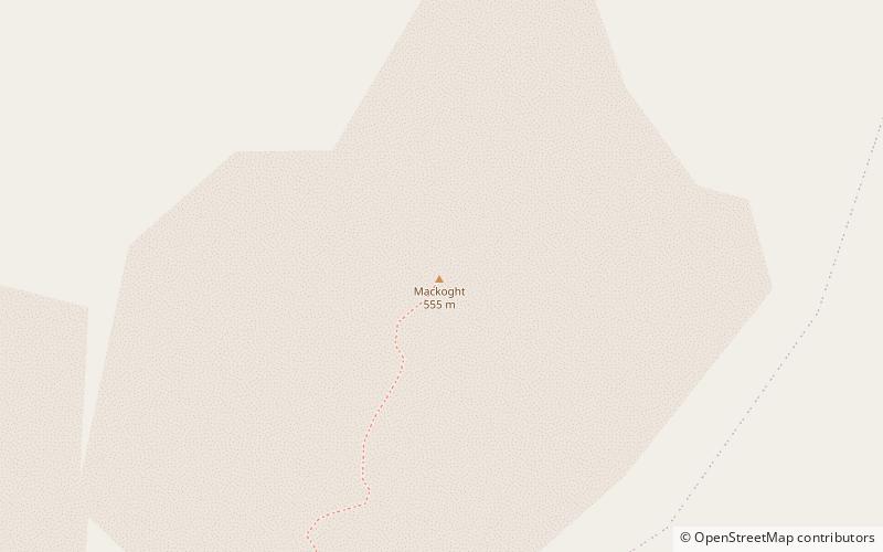
Map
Gallery
Facts and practical information
Mackoght or Macoght, also called Little Errigal or Wee Errigal, is a 555 metres tall mountain in County Donegal, Ireland. ()
Location
Donegal
ContactAdd
Social media
Add
Day trips
Mackoght or Macoght, also called Little Errigal or Wee Errigal, is a 555 metres tall mountain in County Donegal, Ireland. ()
Donegal
Where to next? Visit ![]() Donegal region page or discover the top tourist attractions in Ireland.
Donegal region page or discover the top tourist attractions in Ireland.