Saint Anne's Park, Dublin

Gallery (10)
Map

Map

Gallery
Facts and practical information
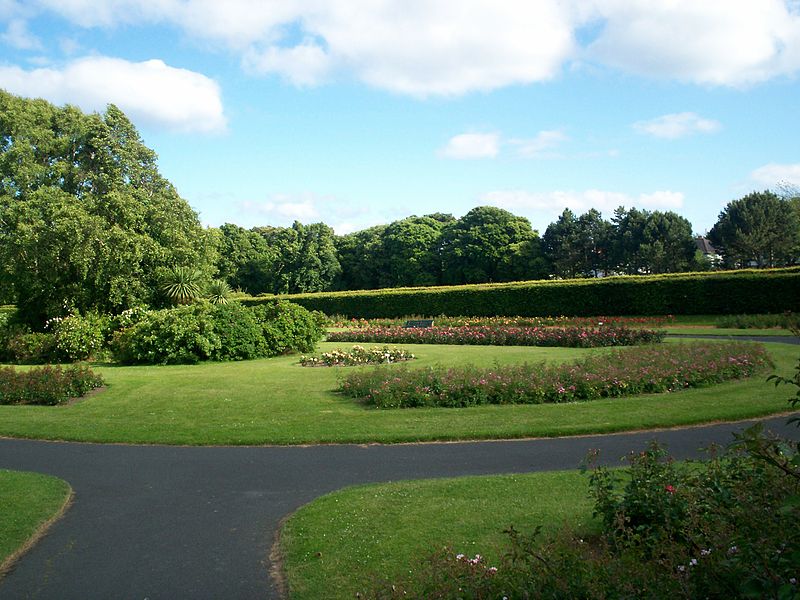
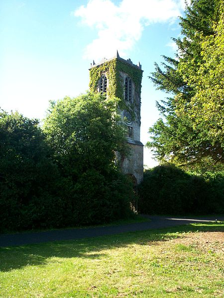
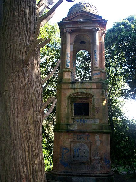
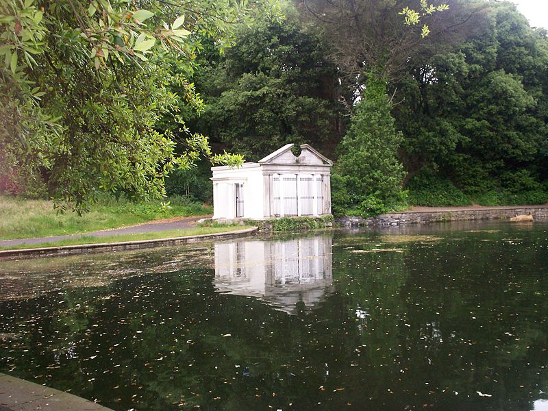
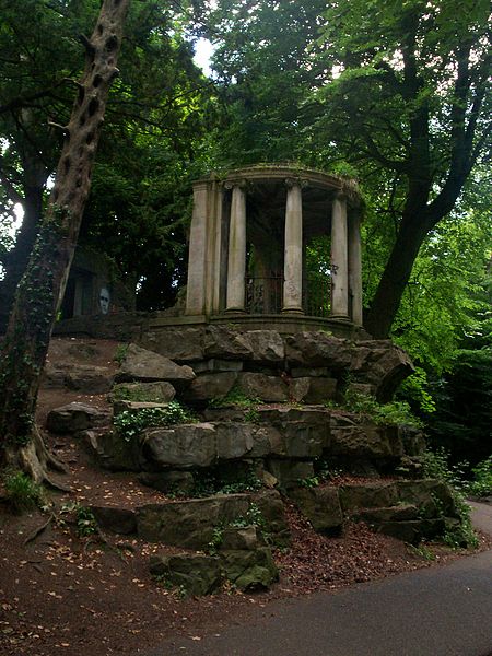
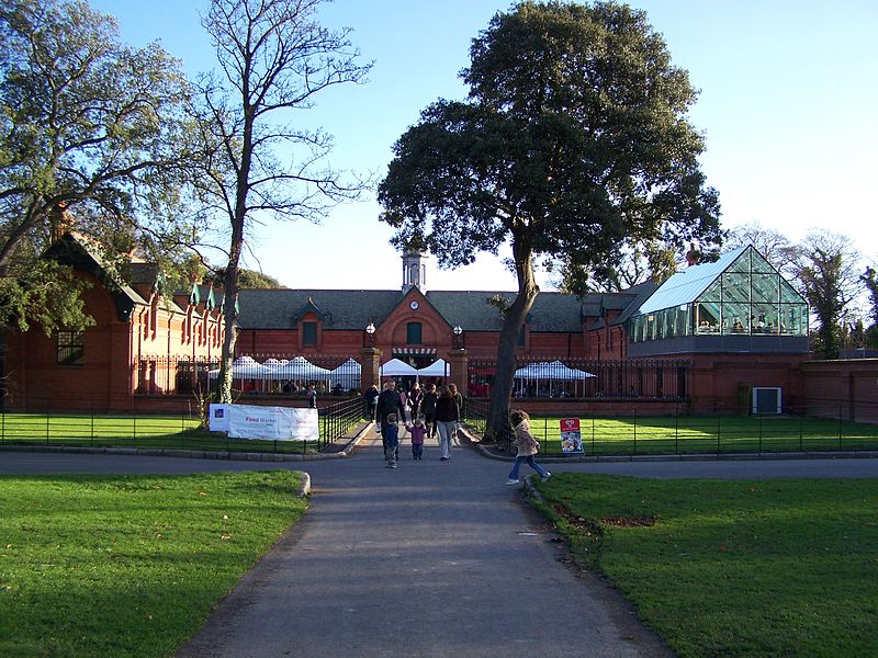
Saint Anne's Park is a 240 acres public park situated between Raheny and Clontarf, suburbs on the northside of Dublin, Ireland. It is owned and managed by Dublin City Council. ()
Elevation: 72 ft a.s.l.Coordinates: 53°22'20"N, 6°10'44"W
Getting there by public transportation
Public transportation stops near this location
- Bus
- Train
 Bus
Bus
- Calculate routeMount Prospect Avenue, Thornhill Lane 5 min walk
- Calculate routeAll Saints Park 7 min walk
- Calculate routeRaheny 17 min walk
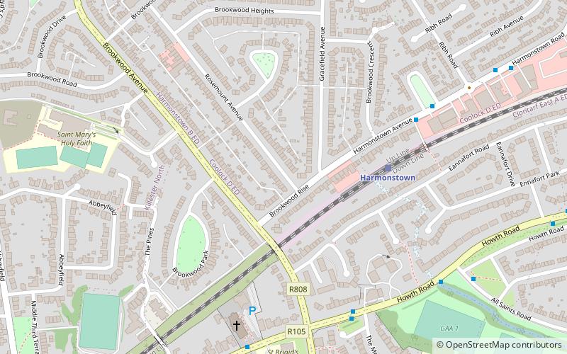
- Calculate routeHarmonstown 19 min walk
- Calculate routeKillester 28 min walk
- Calculate routeKilbarrack 33 min walk
Day trips


Frequently Asked Questions (FAQ)
Which popular attractions are close to Saint Anne's Park?
Nearby attractions include All Saints' Church, Dublin (12 min walk), St. Assam's Church, Dublin (15 min walk), Raheny, Dublin (19 min walk), Bull Island, Dublin (19 min walk).
How to get to Saint Anne's Park by public transport?
The nearest stations to Saint Anne's Park:
Bus
Train
Bus
- Mount Prospect Avenue, Thornhill Lane • Lines: 130 (5 min walk)
- All Saints Park • Lines: H1 (7 min walk)
Train
- Raheny (17 min walk)
- Harmonstown (19 min walk)