Clontarf parish, Dublin
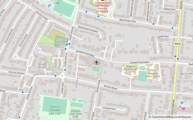
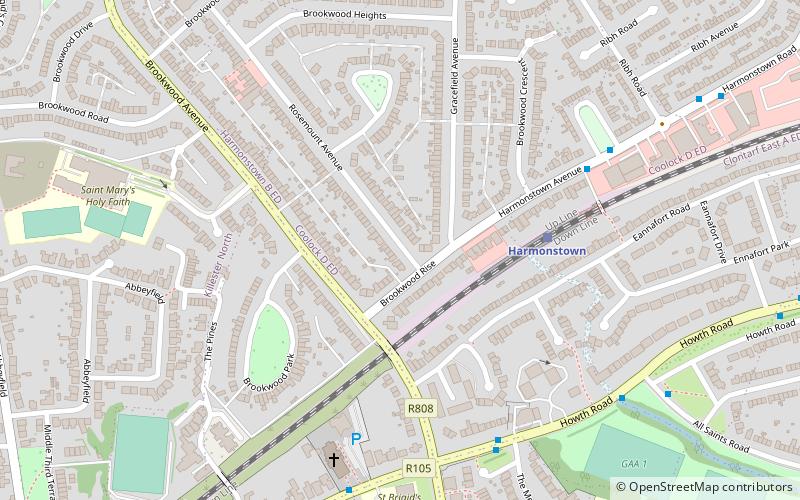
Map

Map

Facts and practical information
The Parish of St. John the Baptist, the Church of Ireland Parish of Clontarf, Dublin is a religious community located on the north shore of Dublin Bay, bounded by the Parishes of North Strand to the west, Coolock to the north, and Raheny to the east. ()
Coordinates: 53°21'51"N, 6°12'9"W
Day trips
Clontarf parish – popular in the area (distance from the attraction)
Nearby attractions include: 3Arena, Saint Anne's Park, Marino Library, Casino at Marino.
Frequently Asked Questions (FAQ)
Which popular attractions are close to Clontarf parish?
Nearby attractions include Clontarf, Dublin (8 min walk), Bull Island, Dublin (11 min walk).
How to get to Clontarf parish by public transport?
The nearest stations to Clontarf parish:
Bus
Train
Tram
Bus
- Castle Avenue, Cemetery • Lines: 130 (4 min walk)
- Blackheath Park, Castle Avenue • Lines: 130 (5 min walk)
Train
- Killester (16 min walk)
- Clontarf Road (27 min walk)
Tram
- The Point • Lines: Luas Red Line (40 min walk)


