Clonskeagh Bridge, Dublin
Map
Gallery
Facts and practical information
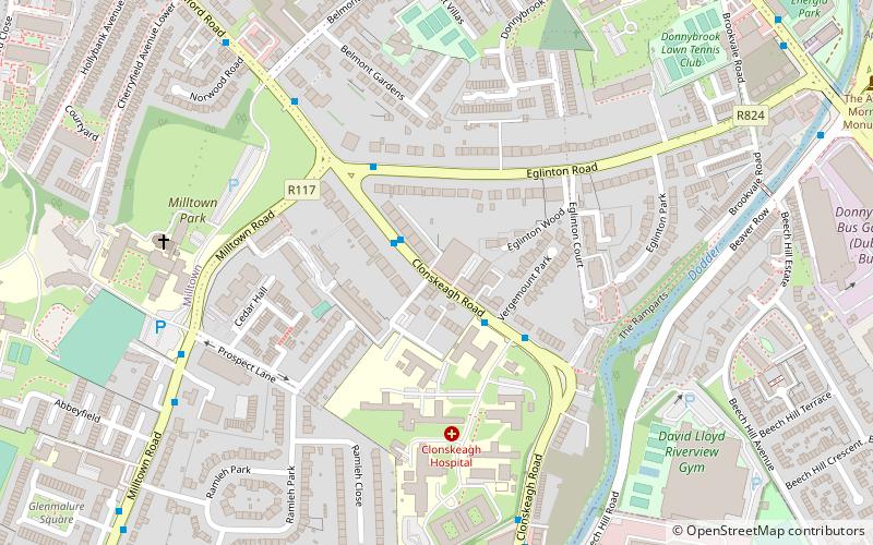
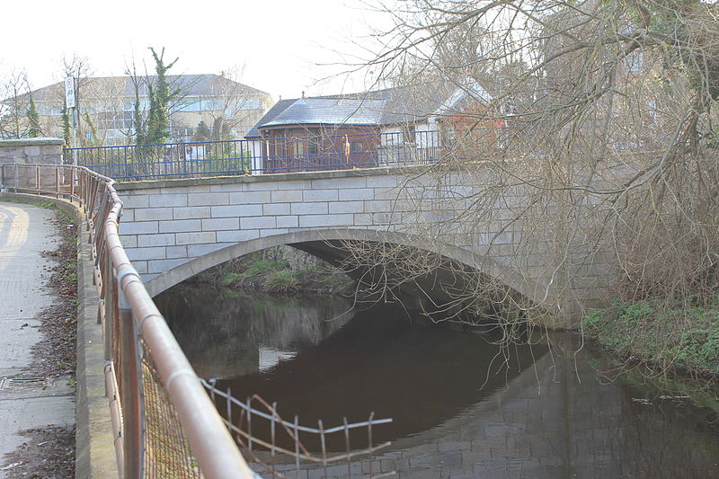
Clonskeagh Bridge is a bridge over the River Dodder in Dublin. The bridge is on the Clonskeagh Road and forms part of the administrative boundary between Dublin City Council and Dún Laoghaire-Rathdown County Council ()
Coordinates: 53°19'2"N, 6°14'24"W
Day trips
Clonskeagh Bridge – popular in the area (distance from the attraction)
Nearby attractions include: RDS Arena, Donnybrook Stadium, Mount Pleasant Square, Belgrave Square.
Frequently Asked Questions (FAQ)
Which popular attractions are close to Clonskeagh Bridge?
Nearby attractions include Donnybrook Cemetery, Dublin (6 min walk), Muckross Park College, Dublin (10 min walk), Milltown Bridge, Dublin (15 min walk), Ahlul Bayt Islamic Centre, Dublin (16 min walk).
How to get to Clonskeagh Bridge by public transport?
The nearest stations to Clonskeagh Bridge:
Bus
Tram
Train
Bus
- #856 Clonskeagh Road, Eglinton Road • Lines: 11 (1 min walk)
- #883 Clonskeagh Rd, Milltown Rd • Lines: 11 (2 min walk)
Tram
- Cowper • Lines: Luas Green Line (15 min walk)
- Beechwood • Lines: Luas Green Line (17 min walk)
Train
- Sandymount (28 min walk)
- Sydney Parade (31 min walk)


