Liberty Hall, Dublin
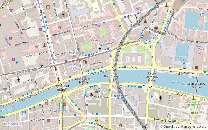
Map

Map

Facts and practical information
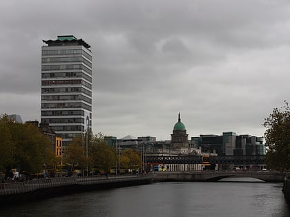
Liberty Hall, in Dublin, Ireland, is the headquarters of the Services, Industrial, Professional, and Technical Union. Designed by Desmond Rea O'Kelly, it was completed in 1965. It was for a time the tallest building in the country, at 59.4 metres, high until it was superseded by the County Hall in Cork city, which was itself superseded by The Elysian in Cork. Liberty Hall is now the fourth tallest building in Dublin, after Capital Dock, Montevetro and the Millennium Tower in Grand Canal Dock. ()
Day trips
Liberty Hall – popular in the area (distance from the attraction)
Nearby attractions include: O'Connell Street, Spire of Dublin, Talbot Street, The National Wax Museum Plus.
Frequently Asked Questions (FAQ)
Which popular attractions are close to Liberty Hall?
Nearby attractions include Loopline Bridge, Dublin (2 min walk), Butt Bridge, Dublin (2 min walk), Eden Quay, Dublin (2 min walk), Abbey Theatre, Dublin (2 min walk).
How to get to Liberty Hall by public transport?
The nearest stations to Liberty Hall:
Bus
Tram
Train
Bus
- Eden Quay, Liberty Hall • Lines: 27A, 27B (1 min walk)
- Eden Quay • Lines: 84X (1 min walk)
Tram
- Marlborough • Lines: Luas Green Line (3 min walk)
- Abbey Street • Lines: Luas Red Line (3 min walk)
Train
- Tara Street (3 min walk)
- Dublin Pearse (12 min walk)


