Park Avenue, Dublin
Map

Map

Facts and practical information
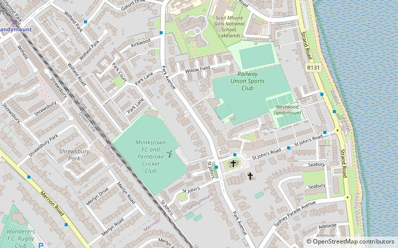
Park Avenue in the suburb of Sandymount, Dublin 4, Ireland is the name of a road joining Sydney Parade Avenue to Gilford Road. It is home to a number of cricket and rugby union grounds including Pembroke Cricket Club, the Railway Union Sports Club and Monkstown Rugby Club. Of architectural note is the Church of St John, noted for its French Bath stone's decay due to its proximity to the sea. The church is on an island at the junction of Park Avenue and St Johns Road, which continues east towards the sea at Sandymount Strand. ()
Length: 2789 ftCoordinates: 53°19'31"N, 6°12'47"W
Address
Southside (Pembroke)Dublin
ContactAdd
Social media
Add
Day trips
Park Avenue – popular in the area (distance from the attraction)
Nearby attractions include: Aviva Stadium, Elm Park Golf Club, RDS Arena, Donnybrook Stadium.
Frequently Asked Questions (FAQ)
Which popular attractions are close to Park Avenue?
Nearby attractions include Sydney Parade Avenue, Dublin (7 min walk), Merrion Road, Dublin (9 min walk), Sandymount Avenue, Dublin (9 min walk), Sandymount Strand, Dublin (11 min walk).
How to get to Park Avenue by public transport?
The nearest stations to Park Avenue:
Bus
Train
Bus
- #381 Park Avenue, St. John's Church • Lines: 1 (3 min walk)
- #380 St. John's Road, Simmonscourt View • Lines: 1 (5 min walk)
Train
- Sydney Parade (9 min walk)
- Sandymount (10 min walk)


