Dingle Way, Tralee


Facts and practical information
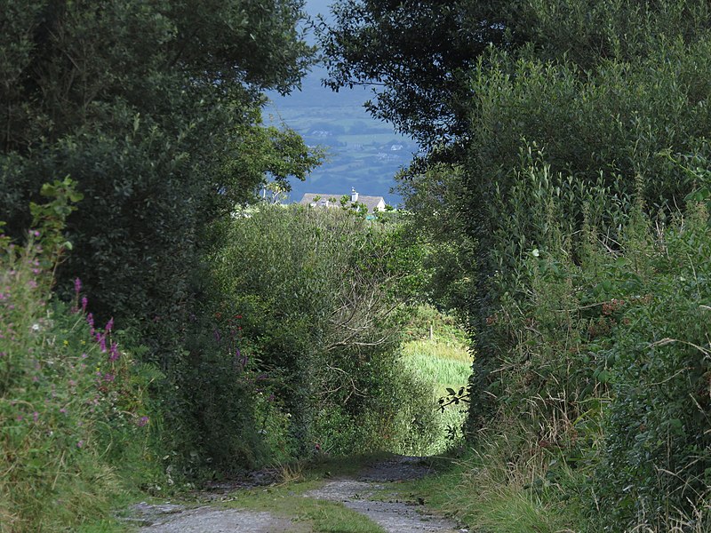
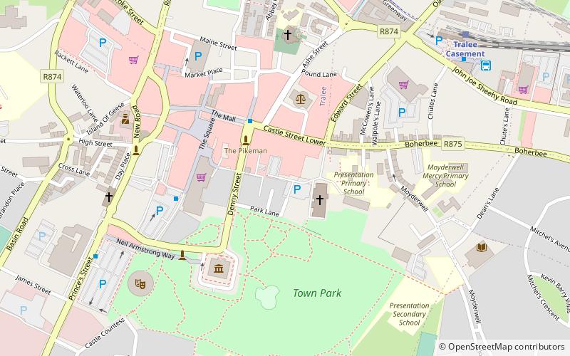
Nestled in the picturesque county of Kerry, Ireland, the Dingle Way is a renowned hiking trail that offers a chance to explore the rugged beauty of the Emerald Isle. This scenic route is a circular trail, beginning and ending in the vibrant town of Tralee, and spans approximately 179 kilometers (111 miles) as it winds through the idyllic landscapes of the Dingle Peninsula.
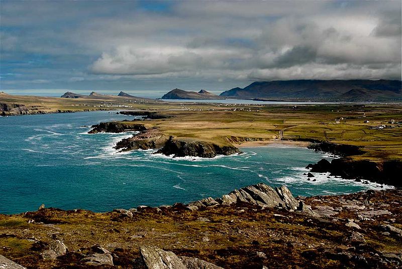
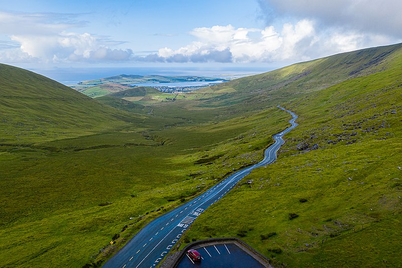
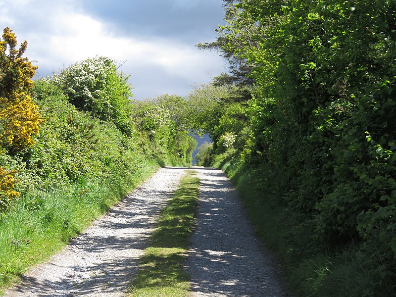
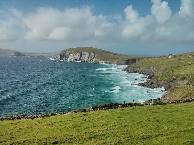
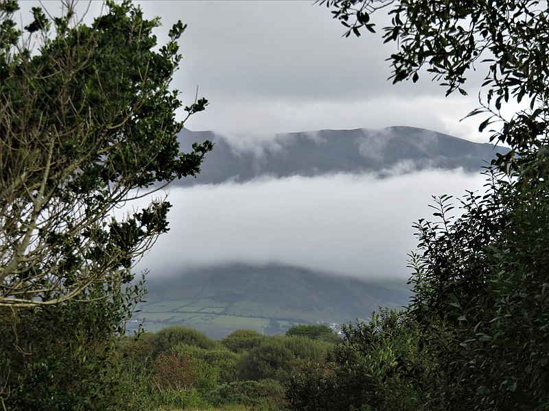
The Dingle Way is famed for its diverse and stunning scenery, from the rolling hills and peaceful farmland to dramatic cliffs that plunge into the Atlantic Ocean. Hikers traversing this trail will encounter a wealth of historic and cultural landmarks, including ancient stone ruins, early Christian chapels, and Ogham stones inscribed with the earliest form of the Irish language.
The trail is well-marked and can take between 8 to 9 days to complete, although many walkers choose to tackle sections of the trail at a time, making it accessible for all levels of experience. The Dingle Way passes through quaint villages and towns, where Irish hospitality can be enjoyed, providing weary hikers with warm meals and comfortable accommodations.
Each segment of the Dingle Way offers its own unique allure. From the enchanting Inch Beach to the wild and remote Slea Head, the trail provides panoramic views that are simply breathtaking. Wildlife enthusiasts may also spot a variety of birds and marine life along the coastal stretches of the trail.
- Bus
- Train
 Bus
Bus
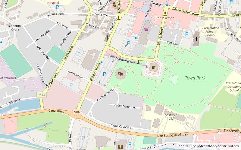
- Calculate routeTesco Square 3 min walk
- Calculate routeThe Mall 5 min walk
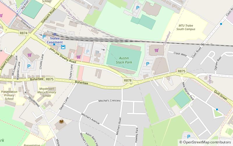
- Calculate routeTralee Bus Station 11 min walk
- Calculate routeUniversity Hospital Kerry 21 min walk
- Calculate routeTralee Casement 11 min walk
Dingle Way – popular in the area (distance from the attraction)
Nearby attractions include: Kingdom Greyhound Stadium, Aqua Dome, Kerry County Museum, Tralee Castle.


Frequently Asked Questions (FAQ)
Which popular attractions are close to Dingle Way?
How to get to Dingle Way by public transport?
Bus
- Tesco Square • Lines: 1, 2 (3 min walk)
- The Mall • Lines: 1, 2 (5 min walk)
Train
- Tralee Casement (11 min walk)