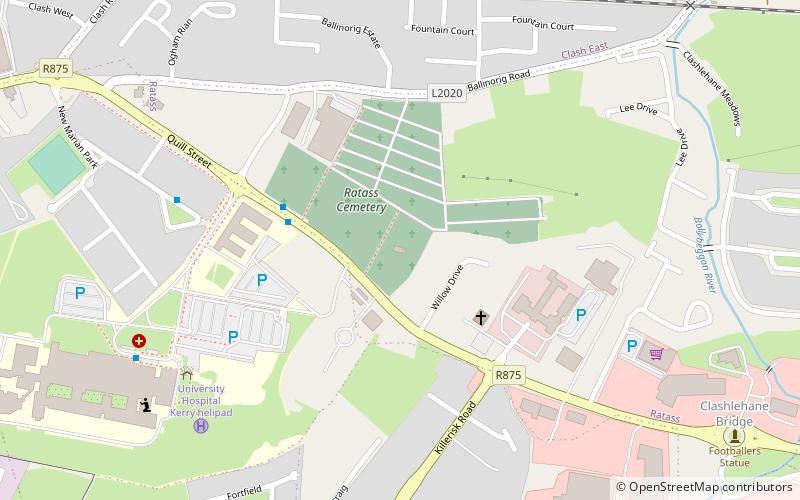
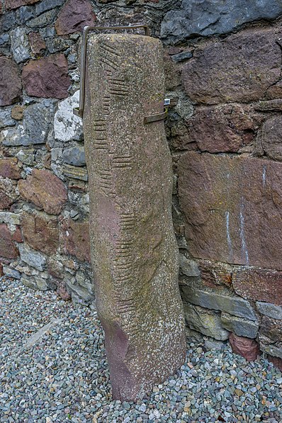
Ratass Church, Tralee

Gallery (2)
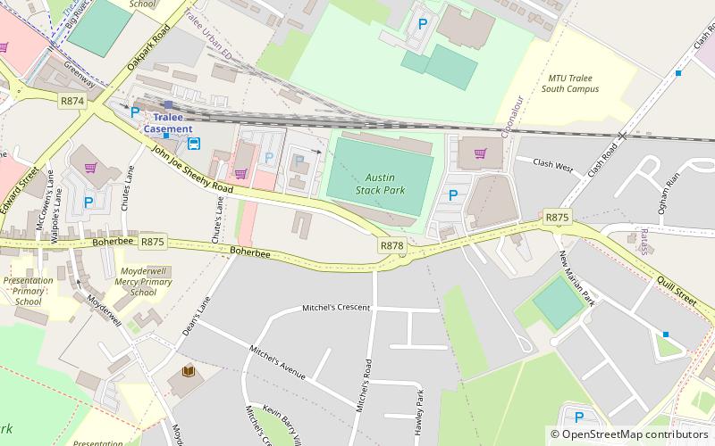
Map
Map
Gallery
Facts and practical information
Ratass Church is a medieval church with ogham stone forming a National Monument in Tralee, Ireland. ()
Architectural style: Romanesque architectureCoordinates: 52°16'1"N, 9°40'55"W
Address
Tralee
ContactAdd
Social media
Add
Getting there by public transportation
Public transportation stops near this location
- Bus
- Train
 Bus
Bus
- Calculate routeUniversity Hospital Kerry 7 min walk
- Calculate routeMarian Park 6 min walk
- Calculate routeTralee Bus Station 20 min walk
- Calculate routeTralee Casement 20 min walk
Day trips


Frequently Asked Questions (FAQ)
How to get to Ratass Church by public transport?
The nearest stations to Ratass Church:
Bus
Train
Bus
- University Hospital Kerry • Lines: 1, 2, 40 (7 min walk)
- Marian Park • Lines: 2 (6 min walk)
Train
- Tralee Casement (20 min walk)