Tralee Castle, Tralee
Map
Facts and practical information
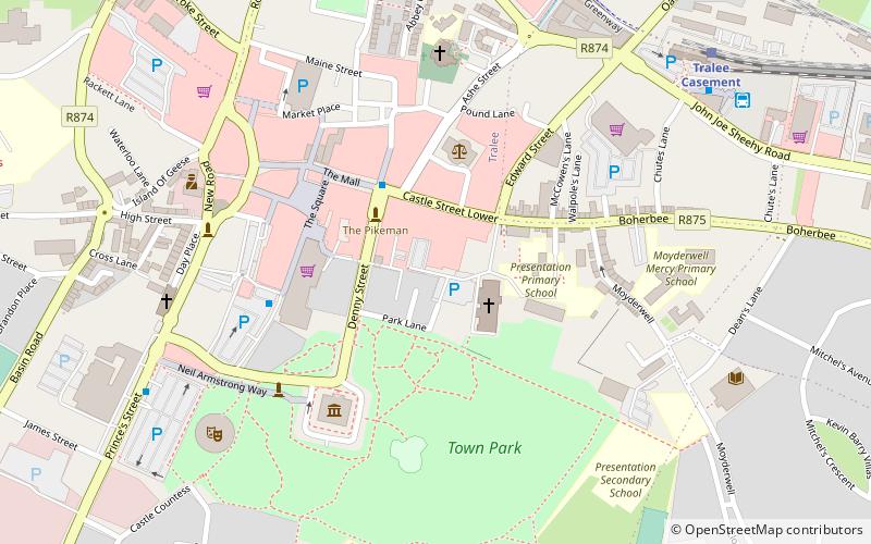
Tralee Castle was a strategic castle in Tralee, Kerry, owned by the Denny family. It is now a ruin. ()
Coordinates: 52°16'6"N, 9°42'14"W
Address
Tralee
ContactAdd
Social media
Add
Getting there by public transportation
Public transportation stops near this location
- Bus
- Train
 Bus
Bus
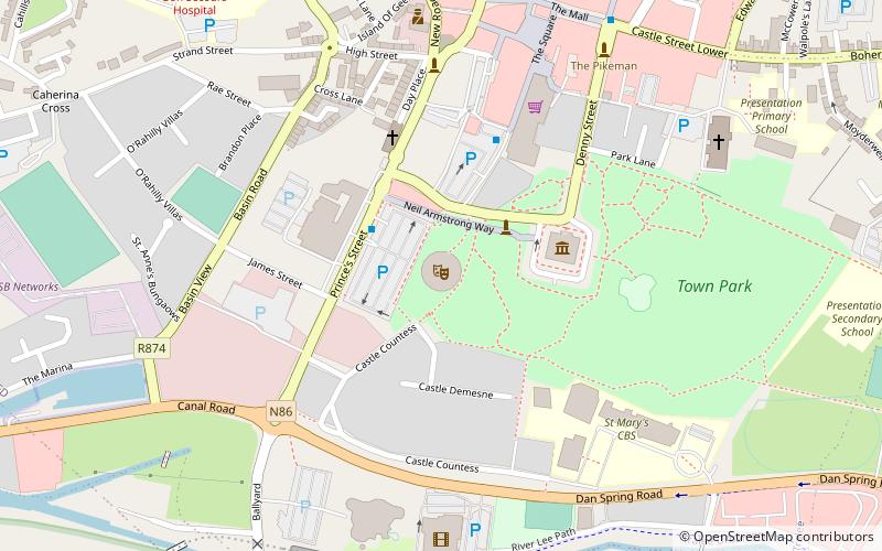
- Calculate routeThe Mall 3 min walk
- Calculate routeTesco Square 4 min walk
- Calculate routeTralee Bus Station 7 min walk
- Calculate routeUniversity Hospital Kerry 19 min walk
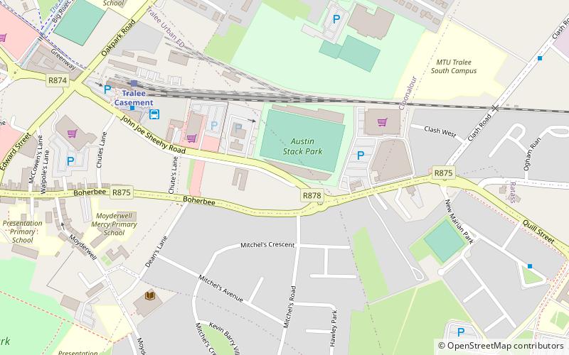
- Calculate routeTralee Casement 8 min walk
Day trips


Frequently Asked Questions (FAQ)
Which popular attractions are close to Tralee Castle?
Nearby attractions include Courthouse, Tralee (3 min walk), Kerry County Museum, Tralee (4 min walk), Siamsa Tíre, Tralee (6 min walk), Institute of Technology, Tralee (18 min walk).
How to get to Tralee Castle by public transport?
The nearest stations to Tralee Castle:
Bus
Train
Bus
- The Mall • Lines: 1, 2 (3 min walk)
- Tesco Square • Lines: 1, 2 (4 min walk)
Train
- Tralee Casement (8 min walk)