Finglas, Dublin
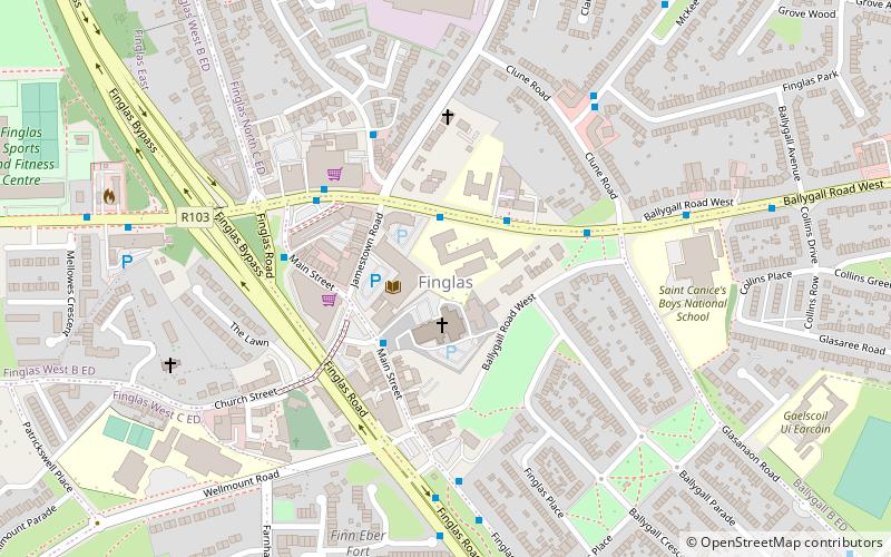
Map
Facts and practical information
Finglas is a civil parish mainly situated in the barony of Castleknock in the traditional county of Dublin, Ireland. It contains 34 townlands. Today, the parish is split between two local government areas: the modern county of Fingal and Dublin City Council. ()
Coordinates: 53°23'21"N, 6°17'49"W
Address
Northside (Finglas)Dublin
ContactAdd
Social media
Add
Getting there by public transportation
Public transportation stops near this location
- Bus
- Tram
- Train
 Bus
Bus
- Calculate routeSt Canice's GNS 2 min walk
- Calculate routeFinglas 4 min walk
- Calculate routeFinglas Road, Ballygall Road 5 min walk
- Calculate routeSt. Canice's BNS 6 min walk
- Calculate routeBroombridge 30 min walk
- Calculate routePelletstown 31 min walk
- Calculate routeBroombridge 30 min walk
Day trips


Frequently Asked Questions (FAQ)
How to get to Finglas by public transport?
The nearest stations to Finglas:
Bus
Train
Tram
Bus
- St Canice's GNS • Lines: 17A (2 min walk)
- Finglas • Lines: 17A (4 min walk)
Train
- Broombridge (30 min walk)
- Pelletstown (31 min walk)
Tram
- Broombridge • Lines: Luas Green Line (30 min walk)