Wicklow Gap, Glendalough
#5 among attractions in Glendalough

Facts and practical information
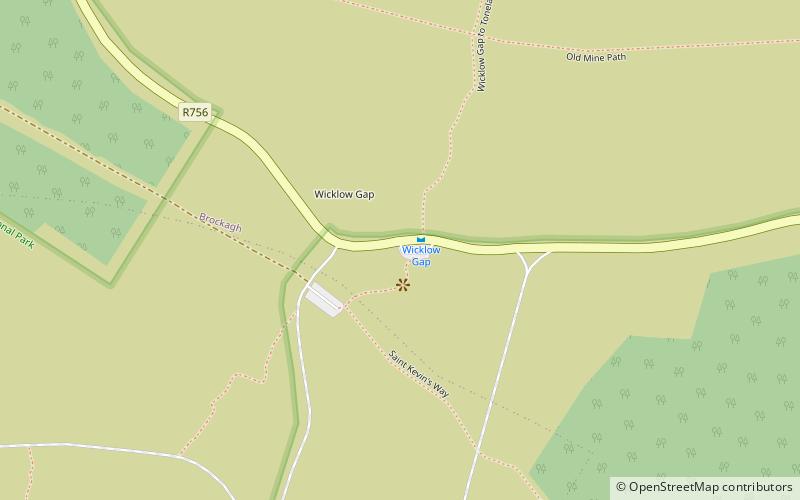
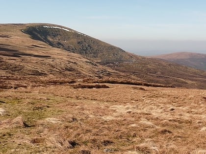
Wicklow Gap is one of the highest Irish mountain passes served by an asphalted road. It is located in County Wicklow, Ireland. ()
Wicklow Gap – popular in the area (distance from the attraction)
Nearby attractions include: Glenmacnass Waterfall, Lough Dan, Lugduff, Scarr.
 Natural attraction, Park, Waterfall
Glenmacnass Waterfall, Laragh
75 min walk • Glenmacnass Waterfall is an 80-metre high waterfall situated at the head of the Glenmacnass Valley in the Wicklow Mountains in Ireland. The Glenmacnass Waterfall is a popular tourist destination and scenic viewpoint area in the Wicklow Mountains. The Waterfall is bounded to the west by Tonelagee, and to the east by Scarr mountain.
 Nature, Natural attraction, Lake
Lough Dan
132 min walk • Nestled in the heart of the Wicklow Mountains in Ireland, Lough Dan beckons nature lovers with its serene beauty and tranquil waters. This idyllic lake, bordered by lush greenery and rolling hills, offers a peaceful escape from the hustle and bustle of modern life.
 Mountain
Lugduff, Wicklow Mountains National Park
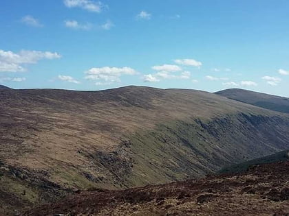
77 min walk • Lugduff at 652 metres, is the 154th–highest peak in Ireland on the Arderin scale, and the 186th–highest peak on the Vandeleur-Lynam scale.
 Mountain
Scarr, Laragh
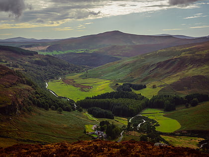
94 min walk • Scarr at 641 metres, is the 174th–highest peak in Ireland on the Arderin scale, and the 207th–highest peak on the Vandeleur-Lynam scale. Scarr is situated in the central sector of the Wicklow Mountains range, but off main "central spine" of the range that runs from Kippure in the north, to Lugnaquillia in the south.
 Nature, Natural attraction, Mountain
Tonelagee, Wicklow Mountains National Park
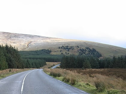
27 min walk • Tonelagee at 817 metres, is the 25th–highest peak in Ireland on the Arderin scale, and the 33rd–highest peak on the Vandeleur-Lynam scale.
 Nature, Natural attraction, Mountain
Mullaghcleevaun, Wicklow Mountains National Park
110 min walk • Mullaghcleevaun at 849 metres, is the 15th–highest peak in Ireland on the Arderin scale, and the 20th–highest peak on the Vandeleur-Lynam scale.
 Park
ParkGlenealo Valley, Wicklow Mountains National Park
55 min walk • Glenealo Valley is a national nature reserve of approximately 4,838 acres located in County Wicklow, Ireland. It is managed by the Irish National Parks & Wildlife Service, part of the Department of Housing, Local Government and Heritage.
 Nature, Natural attraction, Mountain
Camenabologue
107 min walk • Camenabologue at 758 metres, is the 55th–highest peak in Ireland on the Arderin scale, and the 71st–highest peak on the Vandeleur-Lynam scale.
 Nature, Natural attraction, Mountain
Table Mountain, Wicklow Mountains National Park
100 min walk • Table Mountain is a 702-metre peak in the southern section of the Wicklow Mountains range in Ireland. With a prominence of only 16 metres, it is only listed in a few of the recognised categories of mountains in Ireland; it is the 110th–highest peak on the Vandeleur-Lynam Irish scale.
 Nature, Natural attraction, Mountain
Turlough Hill, Wicklow Mountains National Park
38 min walk • Turlough Hill, also known as Tomaneena, is a 681-metre-high mountain in County Wicklow in Ireland and site of Ireland's only pumped-storage hydroelectricity plant.
 Nature, Natural attraction, Mountain
Mullacor, Glendalough
103 min walk • Mullacor at 661 metres, is an Irish mountain.
