Trek Zone

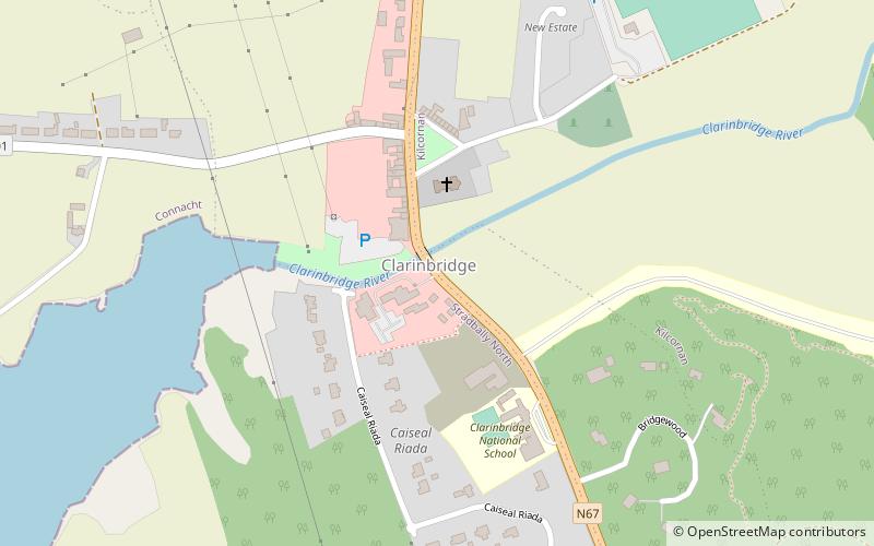
Clarinbridge Golf Society, Clarinbridge

#1 among attractions in Clarinbridge

Golf
Clarinbridge Golf Society

Facts and practical information

Clarinbridge Golf Society is a place located in Clarinbridge (Galway county) and belongs to the category of golf.

It is situated at an altitude of 20 feet, and its geographical coordinates are 53°13'39"N latitude and 8°52'49"W longitude.

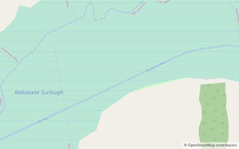
Among other places and attractions worth visiting in the area are: Tyrone House (ruins, 48 min walk), Oranmore Castle, Oranmore (forts and castles, 93 min walk), Rahasane turlough (nature, 102 min walk).

Coordinates: 53°13'39"N, 8°52'49"W
Address

Clarinbridge Ireland

ContactAdd
Social media
Add
Day trips

Clarinbridge Golf Society – popular in the area (distance from the attraction)

Nearby attractions include: Oranmore Castle, Tyrone House, Merlinpark Castle, Galway Mosque.

  • oranmore castle3.6 miNW
  • tyrone house1.9 miSW
  • merlinpark castle galway6.1 miNW
  • galway mosque6.4 miNW
  • rahasane turlough location map
    4 miE
  • briarhill shopping centre galway6.2 miNW
  • doorus demesne wedge tomb location map
    6.4 miSW
  • castlegar galway6.5 miNW
  • island eddy5.1 miSW
  • ballybane library galway6.3 miNW
  • ballybrit racecourse galway7 miNW

Where to next? Visit galway Galway region page or discover the top tourist attractions in Ireland.

IrelandCarlowCavanClareCorkDonegalDublinGalwayKerryKildareKilkennyLaoighisLeitrimLimerickLongfordLouthMayoMeathMonaghanOffalyRoscommonSligoTipperaryWaterfordWestmeathWexfordWicklow