Ballybrit Racecourse, Galway
Map

Map

Facts and practical information
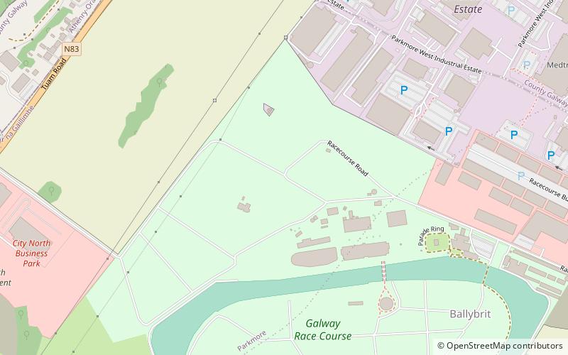
Ballybrit Race Track, also known as Galway Racecourse, is a horse race course in County Galway, Ireland. It is located in the townland of Ballybrit, in the environs of Castlegar, just north of the N6 Bóthar na dTreabh, c.6 km northeast of Galway city. ()
Coordinates: 53°17'58"N, 8°59'57"W
Address
BallybritGalway
ContactAdd
Social media
Add
Day trips
Ballybrit Racecourse – popular in the area (distance from the attraction)
Nearby attractions include: Galway Mosque, Terryland Forest Park, Briarhill Shopping Centre, Castlegar.
Frequently Asked Questions (FAQ)
Which popular attractions are close to Ballybrit Racecourse?
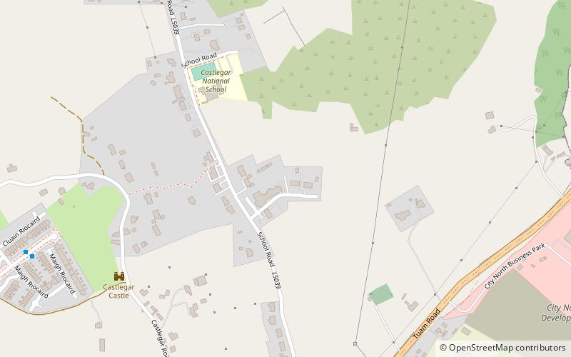
Nearby attractions include Castlegar, Galway (13 min walk), Galway Mosque, Galway (17 min walk), Terryland Forest Park, Galway (19 min walk).
How to get to Ballybrit Racecourse by public transport?
The nearest stations to Ballybrit Racecourse:
Bus
Bus
- Hewlett Packard • Lines: 405 (16 min walk)
- Ballybrit Industrial Estate • Lines: 405 (23 min walk)


