Castlegar, Galway
Map

Map

Facts and practical information
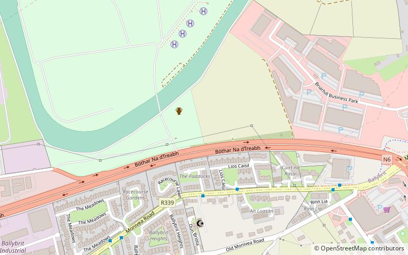
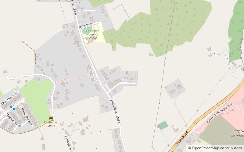
Castlegar is a village and Roman Catholic parish in County Galway, Ireland, located just outside the city of Galway. It extends from Lough Corrib across to Merlin Park by the old Galway-Dublin road. The annual Galway Races are held at Ballybrit Racecourse in the area. ()
Coordinates: 53°17'33"N, 8°59'40"W
Day trips
Castlegar – popular in the area (distance from the attraction)
Nearby attractions include: Merlinpark Castle, Galway Mosque, Terryland Forest Park, Briarhill Shopping Centre.
Frequently Asked Questions (FAQ)
Which popular attractions are close to Castlegar?
Nearby attractions include Galway Mosque, Galway (4 min walk), Ballybane Library, Galway (20 min walk), Merlinpark Castle, Galway (23 min walk).
How to get to Castlegar by public transport?
The nearest stations to Castlegar:
Bus
Bus
- Hewlett Packard • Lines: 405 (13 min walk)
- Merlin Woods • Lines: Bus 409 (19 min walk)


