Ballyartella, Dromineer
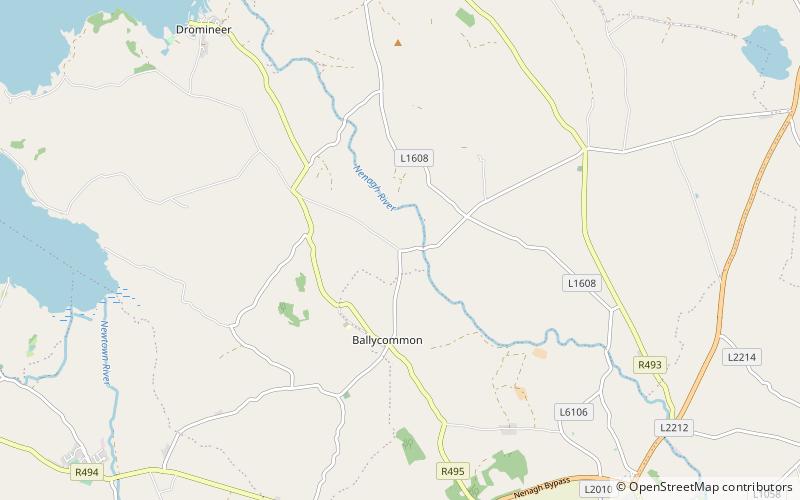
Map
Facts and practical information
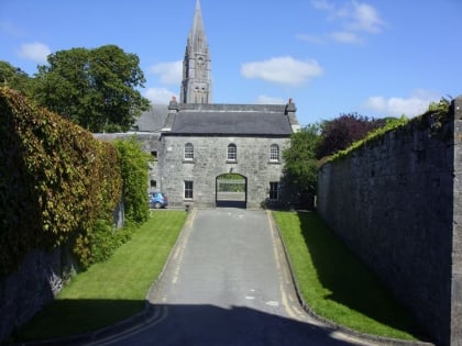
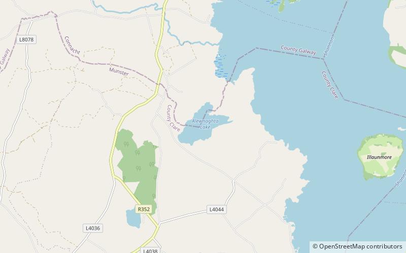
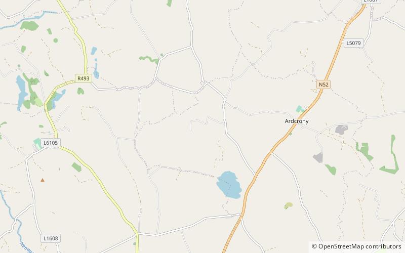
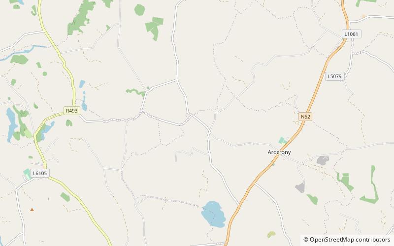
Ballyartella is a townland in the historical Barony of Ormond Lower, County Tipperary, Ireland. It is located between the Nenagh River and the R495 road which runs from Nenagh to Dromineer. ()
Coordinates: 52°54'5"N, 8°14'34"W
Address
Dromineer
ContactAdd
Social media
Add
Day trips
Ballyartella – popular in the area (distance from the attraction)
Nearby attractions include: Lough Derg, Nenagh Castle, Lough Alewnaghta, Franciscan Abbey.

