Arra Mountains
Map
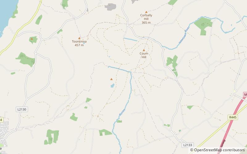
Map

Facts and practical information
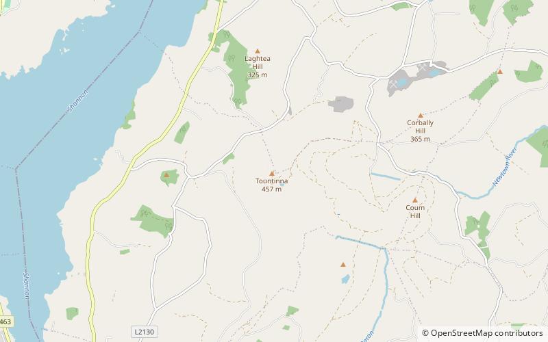
The Arra Mountains or Arra Hills are situated in County Tipperary in Ireland, between the towns of Nenagh and Ballina, south east of Lough Derg and north of the M7 Motorway. ()
Elevation: 1499 ftCoordinates: 52°49'60"N, 8°22'0"W
Location
Tipperary
ContactAdd
Social media
Add
Day trips
Arra Mountains – popular in the area (distance from the attraction)
Nearby attractions include: Killaloe Cathedral, Killaloe Bridge, Brian Boru's Fort, St. Molua's Church.


