International Financial Services Centre, Dublin
Map
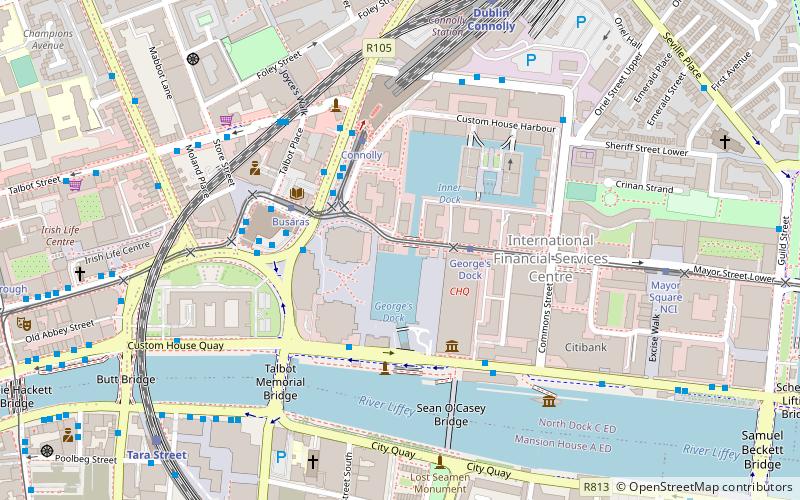
Map

Facts and practical information
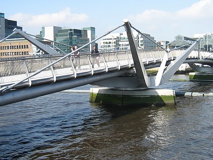
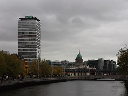
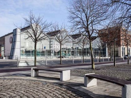
The International Financial Services Centre is an area of central Dublin and part of the CBD established in the 1980s as an urban regeneration area and special economic zone on the derelict state owned former port authority lands of the reclaimed North Wall and George's Dock areas of the Dublin Docklands. The term has become a metonym for the Irish financial services industry as well as being used as an address and still being classified as an SEZ. ()
Coordinates: 53°20'58"N, 6°14'57"W
Day trips
International Financial Services Centre – popular in the area (distance from the attraction)
Nearby attractions include: Science Gallery, Talbot Street, EPIC The Irish Emigration Museum, Talbot Mall.
Frequently Asked Questions (FAQ)
Which popular attractions are close to International Financial Services Centre?
Nearby attractions include EPIC The Irish Emigration Museum, Dublin (3 min walk), Universal Links on Human Rights, Dublin (3 min walk), Eblana Theatre, Dublin (4 min walk), Amiens Street, Dublin (4 min walk).
How to get to International Financial Services Centre by public transport?
The nearest stations to International Financial Services Centre:
Tram
Bus
Train
Tram
- George's Dock • Lines: Luas Red Line (2 min walk)
- Connolly • Lines: Luas Red Line (3 min walk)
Bus
- Connolly Station • Lines: 115, 120, 120B, 120F, 120X, 126, 126X, 130, 133 (3 min walk)
- Amiens Street, Connolly Station • Lines: 130, 14, 15, 42, 53, H1, H2, H3 (3 min walk)
Train
- Dublin Connolly (7 min walk)
- Tara Street (7 min walk)


