Terryland Forest Park, Galway

Map
Facts and practical information
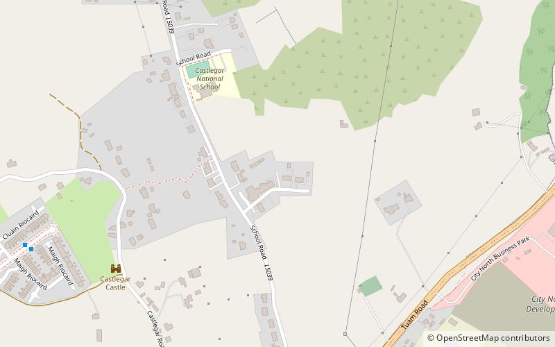
The Terryland Forest Park is an urban forest park in Galway, Ireland. It was launched in January 2000 as the largest such project in Ireland with a plan to involve the citizens of Galway city in planting 500,000 native Irish trees in an area of 120 acres not far from the city centre. ()
Coordinates: 53°17'60"N, 9°1'0"W
Address
CastlegarGalway
ContactAdd
Social media
Add
Day trips
Terryland Forest Park – popular in the area (distance from the attraction)
Nearby attractions include: Galway Mosque, Briarhill Shopping Centre, Castlegar, Ballybane Library.
Frequently Asked Questions (FAQ)
How to get to Terryland Forest Park by public transport?
The nearest stations to Terryland Forest Park:
Bus
Bus
- Hewlett Packard • Lines: 405 (18 min walk)
- Ballybrit Industrial Estate • Lines: 405 (20 min walk)


