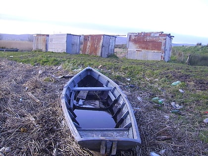
Coonagh, Limerick
#37 among attractions in Limerick

Facts and practical information
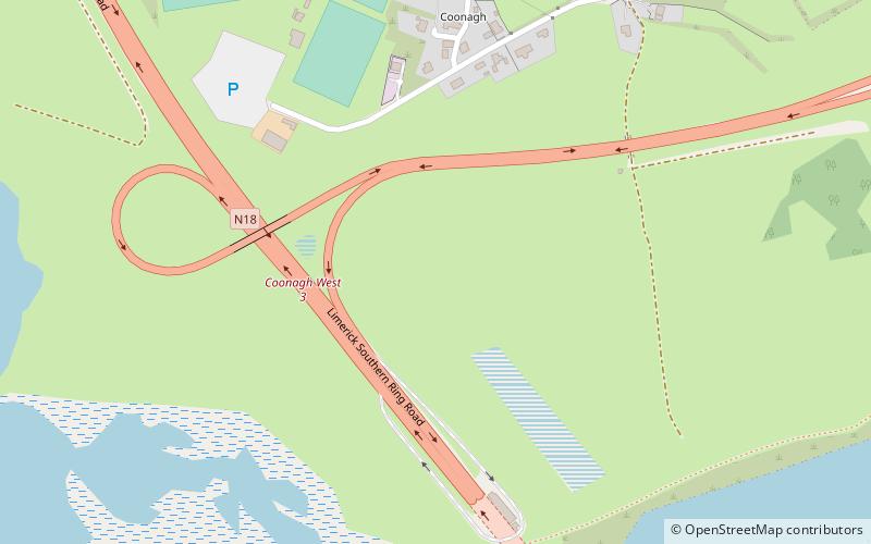
Coonagh is an area, comprising the townlands of: ()
Limerick Ireland
Coonagh – popular in the area (distance from the attraction)
Nearby attractions include: O'Connell Street, Thomond Park, Limerick Museum, Thomond Bridge.
 Shopping district, Shopping
O'Connell Street, Limerick
64 min walk • Nestled in the heart of Limerick, O'Connell Street serves as the vibrant backbone of this historic Irish city's shopping district. Alive with a harmonious blend of modern retail therapy and the charm of old-world architecture, O'Connell Street offers a shopping...
 Specialty museum, Sport, Arenas and stadiums
Thomond Park, Limerick
57 min walk • Thomond Park, nestled in the historic city of Limerick, Ireland, is a bastion of rugby union and a fortress for its home team, Munster Rugby. With a capacity of 25,600 spectators, this iconic stadium has been a hallowed ground for sports enthusiasts since its opening...
 Museum, History museum
Limerick Museum, Limerick
66 min walk • The Limerick Museum, nestled in the historic city of Limerick, Ireland, is a repository of the city's rich cultural heritage and history. As a prominent cultural institution, it holds an extensive collection of artifacts and exhibits that illuminate the diverse...

 Shopping, Shopping district
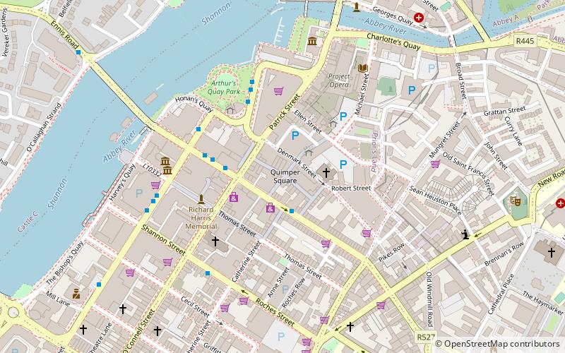
Cruises Street, Limerick
70 min walk • Nestled in the heart of Limerick, Cruises Street stands as a bustling pedestrian thoroughfare, known for its vibrant shopping experience. This shopping street, which was opened in 1992, has since become an integral part of Limerick's city center, offering a diverse...
 Museum, Art museum, Romanesque architecture
Limerick City Gallery of Art, Limerick
66 min walk • Nestled in the heart of Limerick, Ireland, the Limerick City Gallery of Art (LCGA) stands as a beacon of cultural heritage and contemporary creativity. Established in 1936 and situated in the historic Carnegie Building, LCGA is a premier institution for the visual...
 Shopping, Shopping district
Sarsfield Street, Limerick
67 min walk • Sarsfield Street is a street in Limerick, Ireland. The street commences at Sarsfield Bridge and continues in a south east direction forming a crossroads junction with Liddy Street and Henry Street. The street continues towards its junction with O'Connell Street where it ends.
 Archaeological site
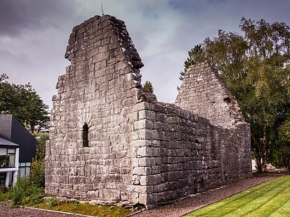
Kilrush Church, Limerick
38 min walk • Kilrush Church, also called St. Munchin's Church, is a medieval church and a National Monument in Limerick City, Ireland.
 Forts and castles
Carrigogunnell
61 min walk • Carrigogunnell Castle is a medieval Irish fortification near the village of Clarina, on the banks of the River Shannon in County Limerick. The structure dates to at least the early 13th century, and was sleighted in September 1691 after being captured during the second siege of Limerick.
 Shopping, Shopping district
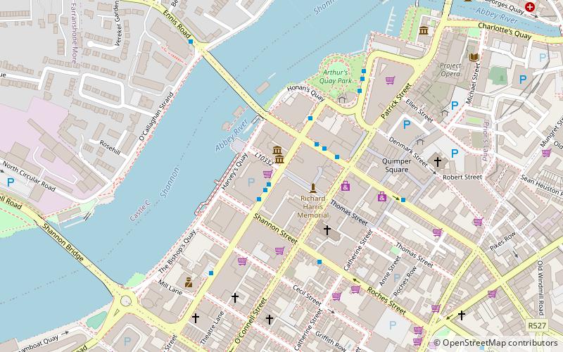
Bedford Row, Limerick
66 min walk • Bedford Row is a shopping street in Limerick, Ireland. The street is named after John Russell, 4th Duke of Bedford who was Lord Lieutenant of Ireland from 1757 to 1761.
 Architecture, Street
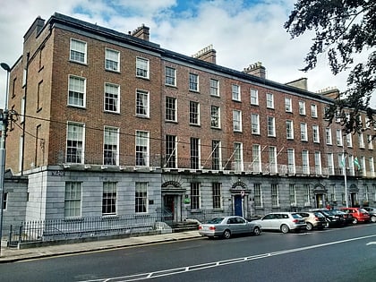
Pery Square, Limerick
65 min walk • Pery Square is a Georgian Terrace located in the Newtown Pery area of Limerick city, Ireland. The terrace was constructed as a speculative development by the Pery Square Tontine Company between 1835 and 1838.
