Tymon Park, Dublin
Map

Map

Facts and practical information
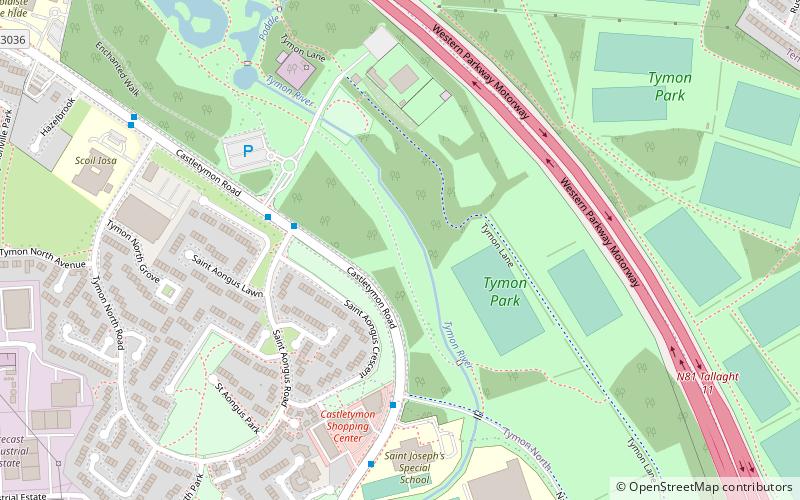
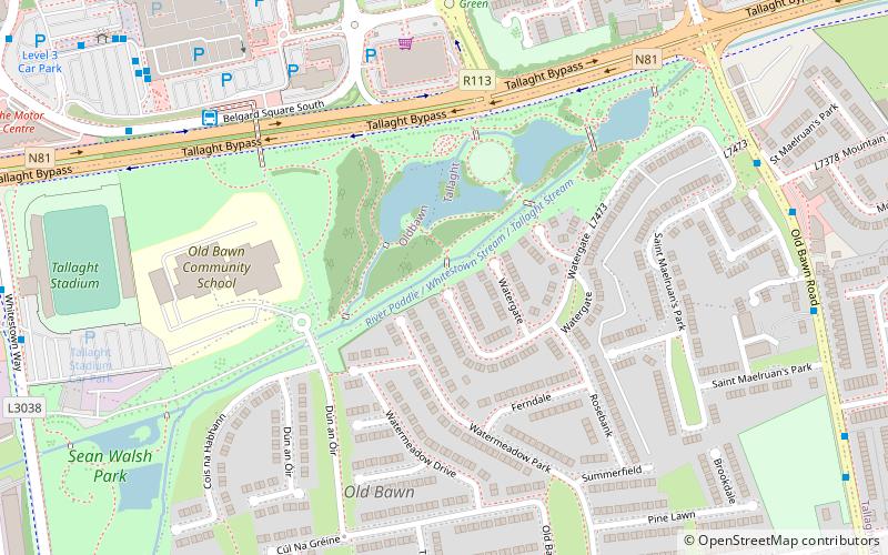
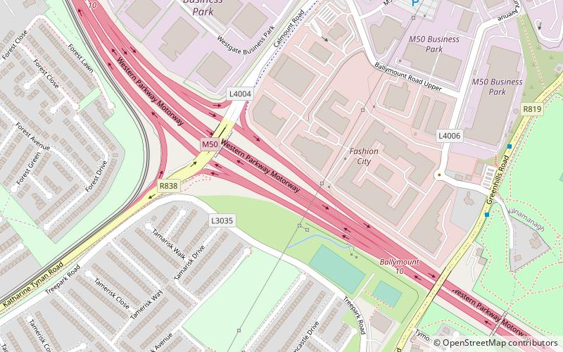
Tymon Park is a large suburban public park in Dublin, Ireland. It has an area of over 300 acres and is divided in two by the M50 motorway, the two divisions being linked by a pair of pedestrian bridges. One of Dublin's historically important rivers, the River Poddle passes through it, providing water to a number of ponds. ()
Elevation: 249 ft a.s.l.Coordinates: 53°17'52"N, 6°20'26"W
Day trips
Tymon Park – popular in the area (distance from the attraction)
Nearby attractions include: Oldbawn, National Basketball Arena, Firhouse, Kilnamanagh.
Frequently Asked Questions (FAQ)
How to get to Tymon Park by public transport?
The nearest stations to Tymon Park:
Bus
Tram
Bus
- Monalea Wood • Lines: 75 (23 min walk)
- Ballycullen Road • Lines: 75 (23 min walk)
Tram
- Stop • Lines: Luas Red Line (28 min walk)
- Kingswood • Lines: Luas Red Line (28 min walk)


