Kilnamanagh, Dublin
Map
Facts and practical information
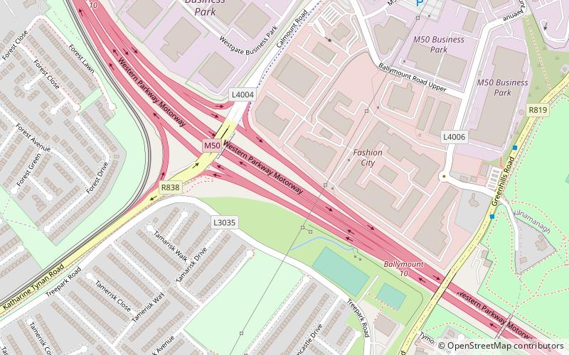
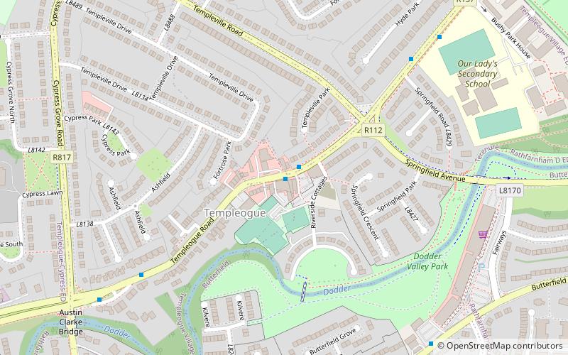
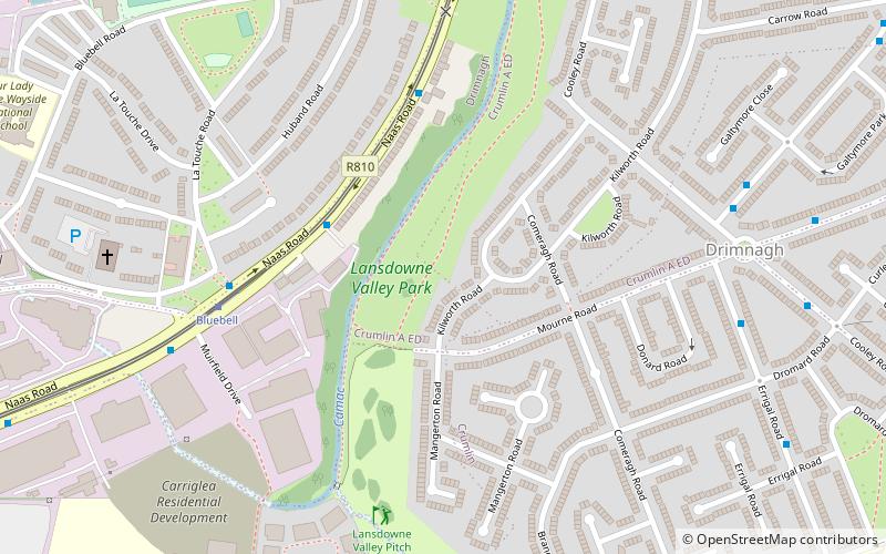
Kilnamanagh is a suburban residential area in Tallaght, South Dublin, Ireland. ()
Coordinates: 53°18'24"N, 6°21'17"W
Address
Dublin
ContactAdd
Social media
Add
Getting there by public transportation
Public transportation stops near this location
- Bus
- Tram
 Bus
Bus
- Calculate routeStop 13 min walk
- Calculate routeKingswood 13 min walk
- Calculate routeRed Cow 24 min walk
- Calculate routeBelgard 26 min walk
- Calculate routeRed Cow 25 min walk
- Calculate routeNaas Road, Red Cow Hotel 26 min walk
- Calculate routeNaas Road, Luas Red Cow 27 min walk
Day trips


Frequently Asked Questions (FAQ)
How to get to Kilnamanagh by public transport?
The nearest stations to Kilnamanagh:
Tram
Bus
Tram
- Stop • Lines: Luas Red Line (13 min walk)
- Kingswood • Lines: Luas Red Line (13 min walk)
Bus
- Red Cow • Lines: 735, L54, M7 Express (25 min walk)
- Naas Road, Red Cow Hotel • Lines: 125, 126, 13, 130, 69 (26 min walk)