Muckross Park College, Dublin
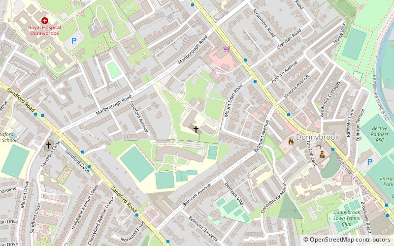
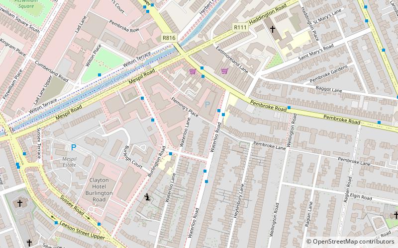
Map
Facts and practical information
Muckross Park College is a non fee paying Catholic secondary school for girls, located in Donnybrook, Dublin, Ireland. Founded in 1900, the curriculum is traditional, with a broad general programme of subjects and a compulsory Transition year programme. Muckross is one of a number of Dominican schools in Ireland. It has a student body of 708. ()
Coordinates: 53°19'21"N, 6°14'30"W
Getting there by public transportation
Public transportation stops near this location
- Bus
- Tram
- Train
 Bus
Bus
- Calculate route#775 Morehampton Road, Mount Eden Road 4 min walk
- Calculate route#757 Morehampton Road, Brendan Road 4 min walk
- Calculate route#758 Morehampton Road, Victoria Avenue 5 min walk
- Calculate route#884 Sandford Rd, Milltown Park 6 min walk
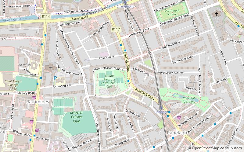
- Calculate routeBeechwood 14 min walk
- Calculate routeCowper 17 min walk
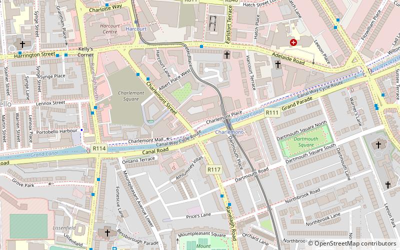
- Calculate routeRanelagh 17 min walk
- Calculate routeCharlemont 24 min walk
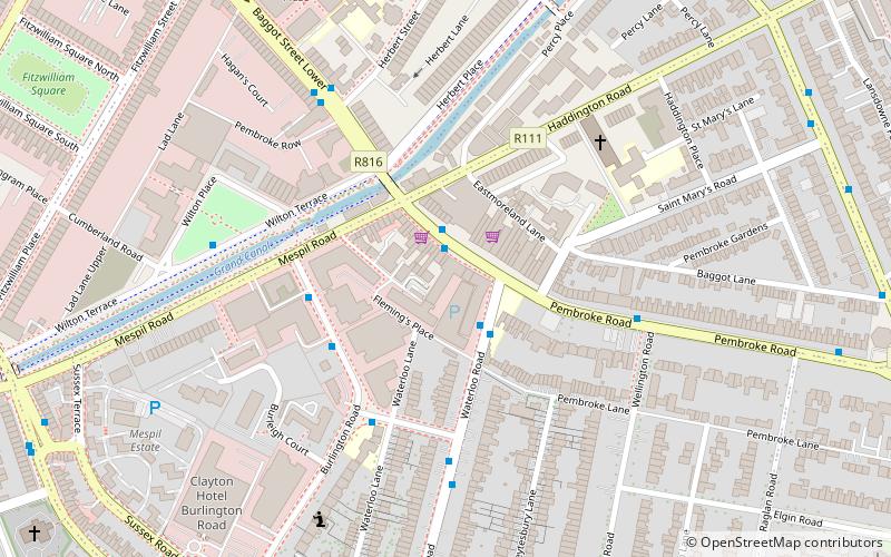
- Calculate routeSandymount 24 min walk
- Calculate routeLansdowne Road 25 min walk
Day trips


Frequently Asked Questions (FAQ)
Which popular attractions are close to Muckross Park College?
Nearby attractions include Donnybrook Cemetery, Dublin (8 min walk), Clonskeagh Bridge, Dublin (10 min walk), Herbert Park, Dublin (11 min walk), Clyde Road, Dublin (13 min walk).
How to get to Muckross Park College by public transport?
The nearest stations to Muckross Park College:
Bus
Tram
Train
Bus
- #775 Morehampton Road, Mount Eden Road • Lines: 118, 145, 39A, 46A (4 min walk)
- #757 Morehampton Road, Brendan Road • Lines: 145, 46A (4 min walk)
Tram
- Beechwood • Lines: Luas Green Line (14 min walk)
- Cowper • Lines: Luas Green Line (17 min walk)
Train
- Sandymount (24 min walk)
- Lansdowne Road (25 min walk)