Kilcrea Castle
#139 among destinations in Ireland
![blank map](https://tzassets.b-cdn.net/static/img/blank-map-colors-sm.png)
![Kilcrea Castle](https://tzmedia.b-cdn.net/media/images/ie/place/gallery/medium/e26ec5409d941e751759aaa852e68155.jpg)
Facts and practical information
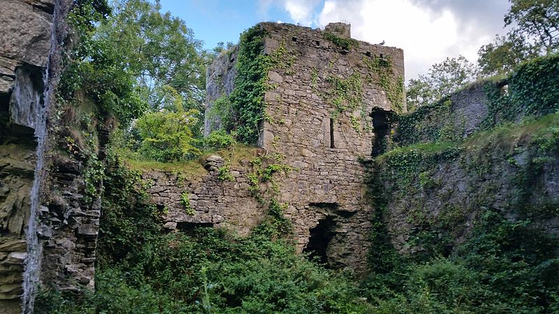
Kilcrea Castle is a ruined 15th-century towerhouse and bawn located near the Kilcrea Friary, west of Cork City, Ireland. The tower house and friary were both built by Cormac Laidir MacCarthy, 9th Lord of Muskerry. ()
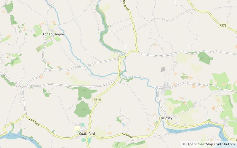
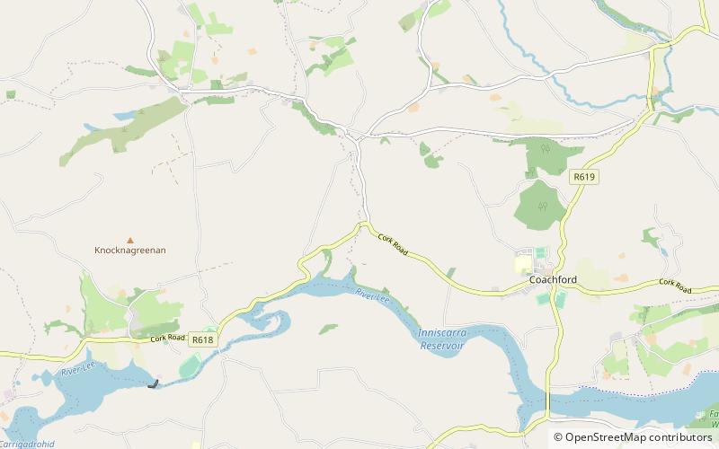
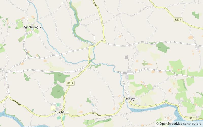
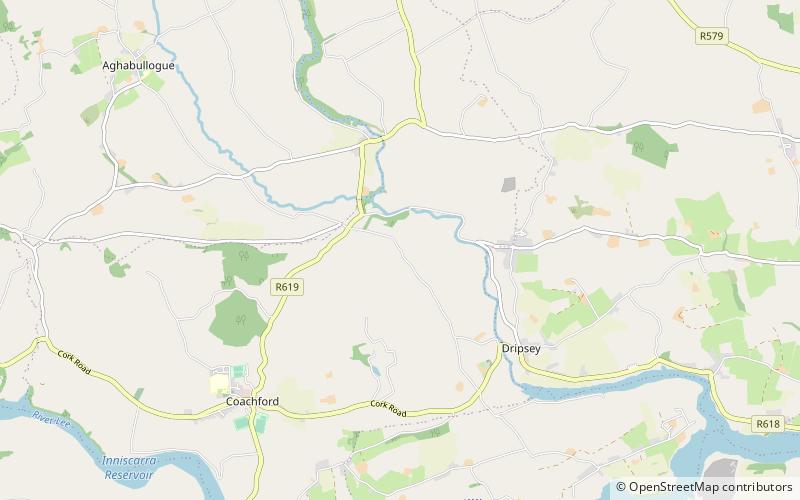
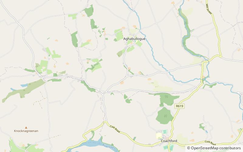
CorkIreland
Kilcrea Castle plan & book
Unleash the traveler in you — discover the cheapest flight deals, find the perfect hotel or hostel nearby, and search for the best car rental prices. Travel at your own pace to discover new places and enjoy your journey.
Kilcrea Castle – popular in the area (distance from the attraction)
Nearby attractions include: Kilcrea Friary, Ballincollig Royal Gunpowder Mills, Ballincollig Castle, Mullinhassig Wood & Waterfalls.
~1620 ftEArchaeological siteKilcrea Friary
8 min walk • Kilcrea Friary is a ruined medieval abbey located near Ovens, County Cork, Ireland. Both the friary and Kilcrea Castle, located in ruin to the west, were built by Observant Franciscans in the mid 15th century under the invitation of Cormac Láidir MacCarthy, Lord of Muskerry, as protection from English troops.
5.8 miEWatermillBallincollig Royal Gunpowder Mills
149 min walk • Ballincollig Royal Gunpowder Mills was one of three Royal gunpowder mills that manufactured gunpowder for the British Government.
5.2 miEForts and castlesBallincollig Castle
132 min walk • Ballincollig Castle is a Norman castle to the south of the town of Ballincollig, County Cork, Ireland built after the Norman invasion of Ireland. In its prime, the castle was inhabited by the Barrett family, who had control of the local area. The castle still stands today, albeit largely in ruin.
6.4 miNWNature, Natural attraction, WaterfallMullinhassig Wood & Waterfalls, Macroom
163 min walk • Mullinhassig Wood is a Coillte-owned property, straddling the townlands of Aghavrin and Shanavagha, 4 km north-west of Coachford village in County Cork, Ireland. Poulanassig Waterfall is located within the wood, 0.75 km west of the entrance, and can be viewed from the water's edge, or from a path above.
6.4 miNWBridgeAghavrin Clapper Bridge
163 min walk • Aghavrin Clapper Bridge straddles the townlands of Aghavrin and Shanavagha, at the eastern end of Mullinhassig Wood & Waterfalls, and is located 4 km west of Coachford village in County Cork, Ireland.
5.6 miELocalityBallincollig
144 min walk • Ballincollig is a suburban town within the administrative area of Cork city in Ireland. It is located on the western side of Cork city, beside the River Lee on the R608 regional road.
5 miNWBridgeColthurst's Bridge
128 min walk • Colthurst's Bridge is situated 2.9 km north of Coachford village in County Cork, Ireland, 3.7 km east of Aghabullogue village, and is depicted on both the 1841 and 1901 surveyed OS maps.
5.7 miNWBridgeGlashagarriff Bridge
147 min walk • Glashagarriff Bridge situated 2.8 km west of Coachford village in County Cork, Ireland is the meeting point of four townlands, two catholic parishes and two civil parishes.
4.8 miNWBridgeDripsey Castle Bridge
123 min walk • Dripsey Castle Bridge is situated 3.3 km north-east of Coachford village, 1.34 km north-west of Dripsey village, and is depicted on both the 1841 and 1901 surveyed OS maps.
4.6 miNWParkCarrignamuck
117 min walk • Carrignamuck is a townland within the civil parish of Magourney and catholic parish of Aghabullogue, County Cork, Ireland. It is 363.76 acres in size, situate north-east of Coachford village, and north-west of Dripsey village.
6.2 miNWParkAghavrin
158 min walk • Aghavrin is a townland within both the civil parish and Catholic parish of Aghabullogue, County Cork, Ireland. It is 667.32 acres in size, situated south-west of Aghabullogue village, and north-west of Coachford village.