Slieve Mish Mountains
Map

Map

Facts and practical information
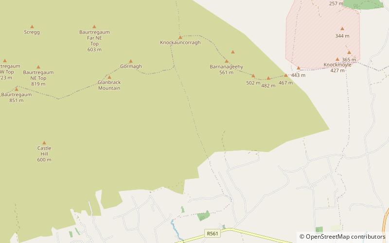
Slieve Mish Mountains, is a predominantly sandstone mountain range at the eastern end of the Dingle Peninsula in County Kerry, Ireland. Stretching 19 kilometres, from the first major peak of Barnanageehy outside of Tralee in the east, to Cnoc na Stuaice in near Central Dingle in the west, the range has over 17 material peaks, with the core of the mountain range based around the massif of its highest peak, Baurtregaum, and its deep glacial valleys of Derrymore Glen and Curraheen Glen. ()
Alternative names: Area: 37.8 mi²Maximum elevation: 2792 ftElevation: 2792 ftCoordinates: 52°12'0"N, 9°46'0"W
Location
Kerry
ContactAdd
Social media
Add
Day trips
Slieve Mish Mountains – popular in the area (distance from the attraction)
Nearby attractions include: Dingle Way, Kingdom Greyhound Stadium, Aqua Dome, Blennerville Windmill.


