Dripsey Castle
Map
Map

Facts and practical information
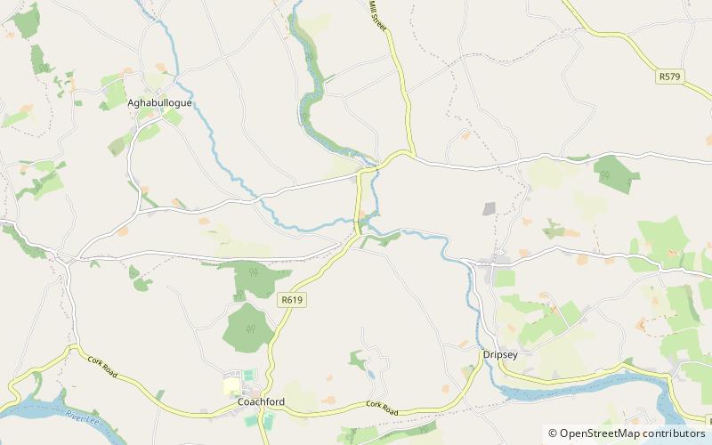
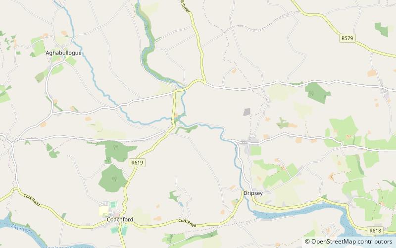
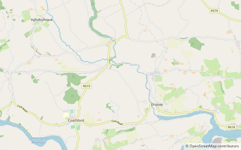
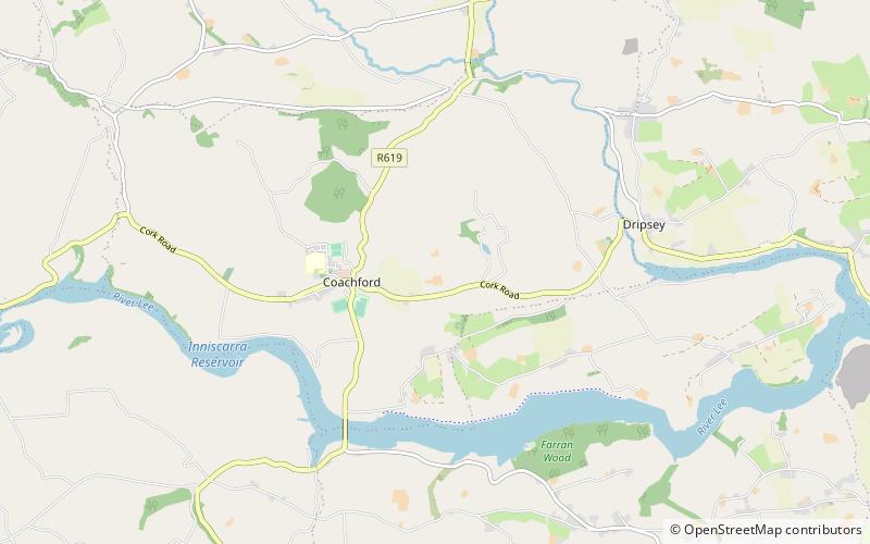
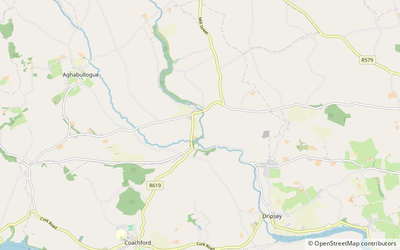
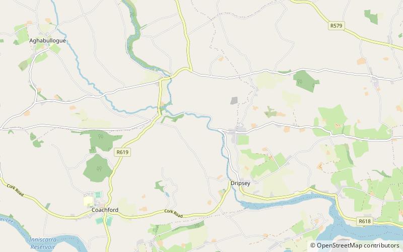
Dripsey Castle is a country house in the townland of Carrignamuck, situated 3.3 km north-east of Coachford village and 2.5 km north-west of Dripsey village. The house and demesne were dominant features in the rural landscape of Ireland, throughout the eighteenth and nineteenth centuries. Location often reflected the distribution of better land, and this is evidenced in mid-Cork, where many of these houses are situated along the valley of the River Lee and its tributaries. ()
Built: XVIII centuryCoordinates: 51°55'37"N, 8°45'19"W
Day trips
Dripsey Castle – popular in the area (distance from the attraction)
Nearby attractions include: Colthurst's Bridge, Dripsey Castle Bridge, Carrignamuck, Clontead Beg.

