Clontead Beg
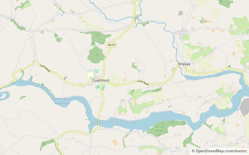
Map
Facts and practical information
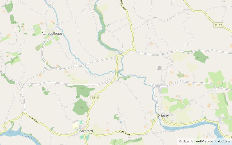
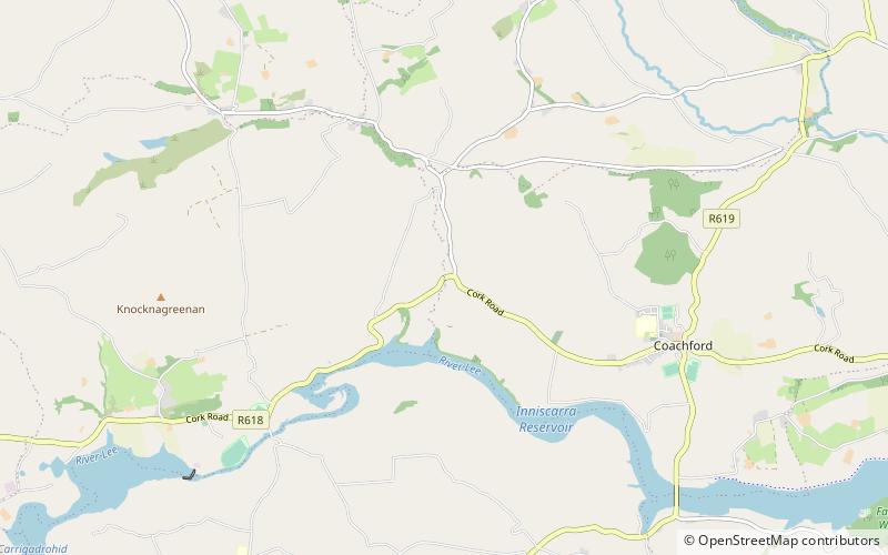
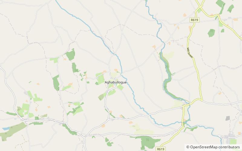
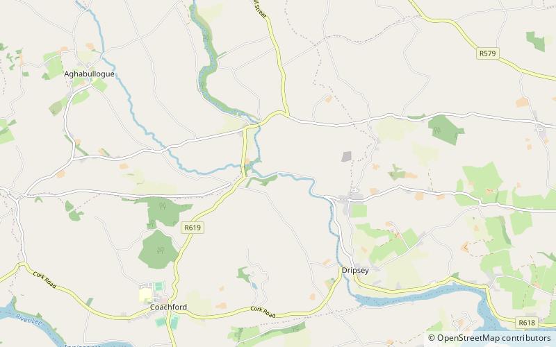
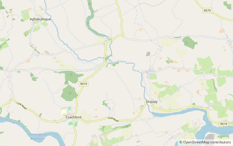
Clontead Beg is a townland within the civil parish of Magourney and Catholic parish of Aghabullogue, County Cork, Ireland. It is approximately 229 acres in size, and east of Coachford village. ()
Elevation: 318 ft a.s.l.Coordinates: 51°54'37"N, 8°46'30"W
Location
Cork
ContactAdd
Social media
Add
Day trips
Clontead Beg – popular in the area (distance from the attraction)
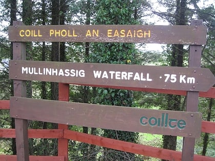
Nearby attractions include: Kilcrea Friary, Kilcrea Castle, Mullinhassig Wood & Waterfalls, Aghavrin Clapper Bridge.


