Blanchardstown, Dublin
Map
Facts and practical information
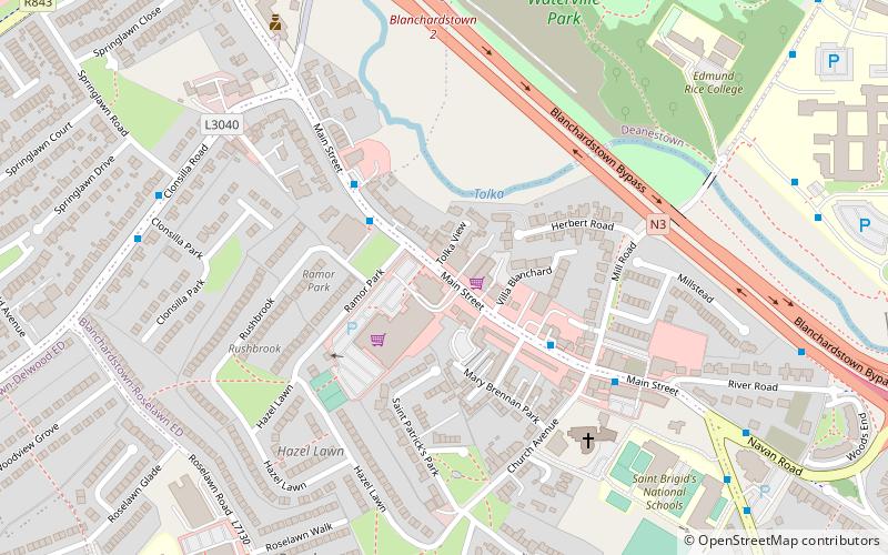
Blanchardstown is a large outer suburb of Dublin in the modern county of Fingal, Ireland. Located ten kilometres northwest of Dublin city centre, it has developed since the 1960s from a small village to a point where Greater Blanchardstown is the largest urban area in Fingal. ()
Address
Dublin
ContactAdd
Social media
Add
Getting there by public transportation
Public transportation stops near this location
- Bus
- Train
 Bus
Bus
- Calculate routeBlanchardstown, Ramor Park 2 min walk
- Calculate routeCastleknock 12 min walk
- Calculate routeCoolmine 22 min walk
Day trips


Frequently Asked Questions (FAQ)
Which popular attractions are close to Blanchardstown?
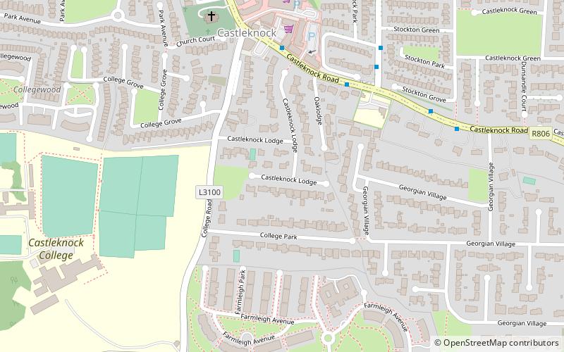
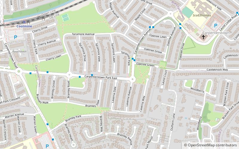
Nearby attractions include Dublin 15 (18 min walk), Castleknock Castle, Dublin (19 min walk), Carpenterstown, Dublin (22 min walk), Coolmine, Dublin (23 min walk).
How to get to Blanchardstown by public transport?
The nearest stations to Blanchardstown:
Bus
Train
Bus
- Blanchardstown, Ramor Park • Lines: 38A (2 min walk)
Train
- Castleknock (12 min walk)
- Coolmine (22 min walk)