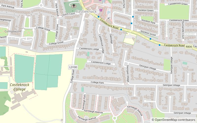
Castleknock, Dublin
Map
Facts and practical information
Castleknock is a civil parish and a townland located in the south-western corner of the modern county of Fingal, Ireland. The civil parish is part of the ancient barony of Castleknock. It is centred on the suburban village of Castleknock. The townland of Castleknock itself is the location of the eponymous "Cnucha's Castle" – Castleknock Castle. The town with the biggest population in the parish is Blanchardstown. In geology, the parish rests on a substratum of limestone and comprises 2943 statute acres, the whole of which is arable land. ()
Coordinates: 53°22'13"N, 6°21'41"W
Address
Dublin
ContactAdd
Social media
Add
Getting there by public transportation
Public transportation stops near this location
- Bus
- Train
 Bus
Bus
- Calculate routeCastleknock Road 6 min walk
- Calculate routeAuburn Avenue 5 min walk
- Calculate routeNavan Road Parkway 22 min walk
- Calculate routeCastleknock 23 min walk
Day trips


Frequently Asked Questions (FAQ)
Which popular attractions are close to Castleknock?
Nearby attractions include Farmleigh, Dublin (11 min walk), Farmleigh Bridge, Dublin (17 min walk).
How to get to Castleknock by public transport?
The nearest stations to Castleknock:
Bus
Train
Bus
- Castleknock Road • Lines: 37, 38 (6 min walk)
- Auburn Avenue • Lines: 38 (5 min walk)
Train
- Navan Road Parkway (22 min walk)
- Castleknock (23 min walk)