Carpenterstown, Dublin

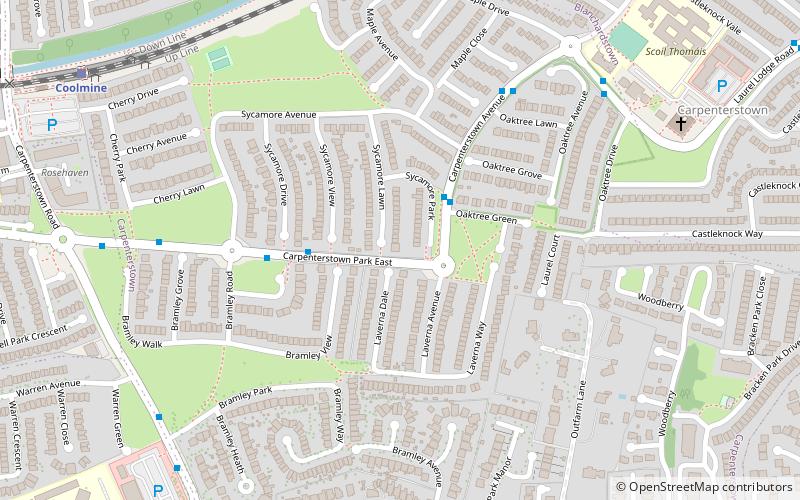
Map
Facts and practical information
Carpenterstown is a townland in the civil parish of Castleknock. The civil parish is part in the ancient barony of Castleknock. In geology, the townland rests on a substratum of limestone and comprises 166 statute acres, the whole of which is arable land. ()
Coordinates: 53°22'32"N, 6°23'2"W
Address
Dublin
ContactAdd
Social media
Add
Day trips
Carpenterstown – popular in the area (distance from the attraction)
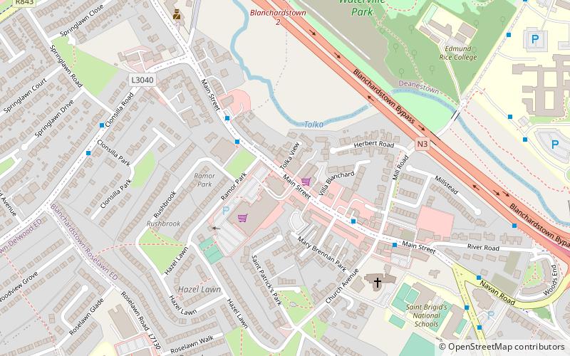
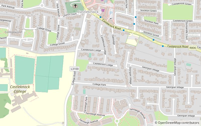
Nearby attractions include: Blanchardstown Centre, Farmleigh, Blanchardstown, Castleknock.
Frequently Asked Questions (FAQ)
How to get to Carpenterstown by public transport?
The nearest stations to Carpenterstown:
Bus
Train
Bus
- Carpenterstown Avenue • Lines: 37 (7 min walk)
- Laurel Lodge Road • Lines: 37 (6 min walk)
Train
- Coolmine (9 min walk)
- Castleknock (17 min walk)


