Tyrrelstown, Dublin
Map
Gallery
Facts and practical information
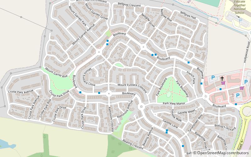
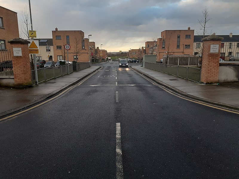
Tyrrelstown is a townland in the civil parish of Mulhuddart, located 13 km northwest of the city of Dublin in Ireland and often considered as part of the greater Blanchardstown area. It is the site of a planned suburban development from the early 2000s. The local authority for the area, which forms part of the Dublin 15 postal district, is Fingal County Council. ()
Coordinates: 53°25'13"N, 6°23'24"W
Address
Dublin
ContactAdd
Social media
Add
Day trips
Tyrrelstown – popular in the area (distance from the attraction)
Nearby attractions include: Blanchardstown Centre, National Aquatic Centre, Farmleigh, Charlestown Shopping Centre.
Frequently Asked Questions (FAQ)
How to get to Tyrrelstown by public transport?
The nearest stations to Tyrrelstown:
Bus
Bus
- Tyrrelstown, Belgree Boulevard • Lines: 238 (3 min walk)


