Ely Place, Dublin

Gallery (3)
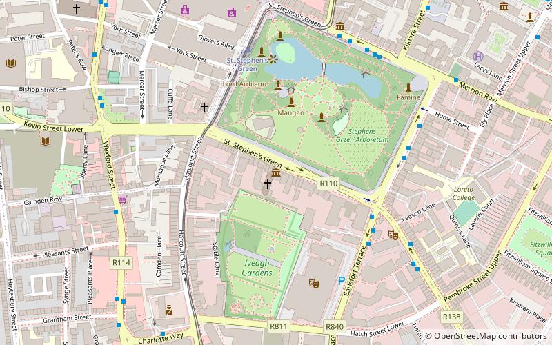
Map


Map
Gallery
Facts and practical information
Ely Place is a street in central Dublin with Georgian architecture. It is a continuation of Upper Merrion Street and the place where Lower Baggot Street and Merrion Row meet. Both the latter and Hume Street link it to St Stephen's Green. ()
Coordinates: 53°20'15"N, 6°15'15"W
Address
Southside (South-East Inner City)Dublin
ContactAdd
Social media
Add
Getting there by public transportation
Public transportation stops near this location
- Bus
- Tram
- Train
 Bus
Bus
- Calculate routeSaint Stephen's Green, Hume Street 2 min walk
- Calculate routeMerrion Row 3 min walk
- Calculate routePembroke Street 3 min walk
- Calculate routeSt. Stephen's Green 9 min walk
- Calculate routeDawson 10 min walk
- Calculate routeHarcourt 12 min walk
- Calculate routeCharlemont 13 min walk
- Calculate routeDublin Pearse 13 min walk
- Calculate routeTara Street 18 min walk
- Calculate routeGrand Canal Dock 18 min walk
- Calculate routeLansdowne Road 28 min walk
Day trips
Ely Place – popular in the area (distance from the attraction)
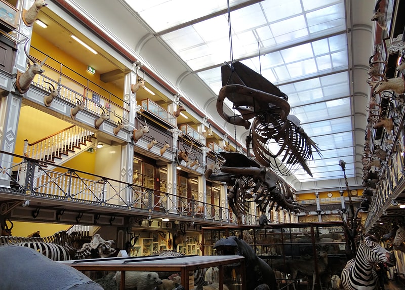
Nearby attractions include: Natural History Museum, O'Donoghue's, National Gallery of Ireland, Doheny & Nesbitt.


Frequently Asked Questions (FAQ)
Which popular attractions are close to Ely Place?
Nearby attractions include Royal Hibernian Academy, Dublin (1 min walk), Hume Street, Dublin (2 min walk), Huguenot Cemetery, Dublin (3 min walk), Merrion Street, Dublin (4 min walk).
How to get to Ely Place by public transport?
The nearest stations to Ely Place:
Bus
Tram
Train
Bus
- Saint Stephen's Green, Hume Street • Lines: 11, 133, 133X, 145, 46A (2 min walk)
- Merrion Row • Lines: 109B, 38A, 38B (3 min walk)
Tram
- St. Stephen's Green • Lines: Luas Green Line (9 min walk)
- Dawson • Lines: Luas Green Line (10 min walk)
Train
- Dublin Pearse (13 min walk)
- Tara Street (18 min walk)